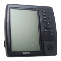
Do you have a question about the Garmin STREETPILOT 2610 and is the answer not in the manual?
Critical safety information and precautions for using the device.
Information on the limited warranty, coverage, and service procedures.
Guide to using the touchscreen for navigation and entering data.
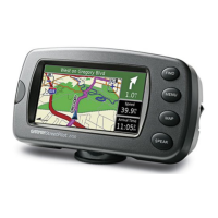
Detailed explanation of the main map display and its elements.
Customization settings for the map display, including detail and orientation.
Information displayed before a turn, including instructions and distance.
Overview of the planned route, showing upcoming turns and destination details.
Statistics related to trips, such as speed, distance, and time.
How to save your current location as a waypoint.
How to search for locations, addresses, and points of interest.
Managing routes, including creating, saving, and recalculating them.
| Auto | Yes |
|---|---|
| Marine (chartplotters, sounders) | No |
| Form factor | Fixed |
| Product color | Black |
| Interface | USB 1.1 |
| Display size (HxV) (imperial) | 3.3 x 1.7 \ |
| Number of waypoints | 2000 |
| Depth | 50 mm |
|---|---|
| Width | 143 mm |
| Height | 80 mm |
| Weight | 420 g |
