 Loading...
Do you have a question about the GeoMax ZTS600 and is the answer not in the manual?
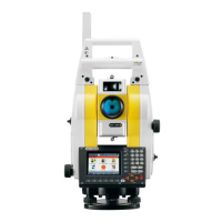
| Angle accuracy | 2" |
|---|---|
| Operating temperature | -20°C to +50°C |
| Protection class | IP55 |
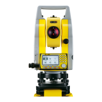
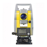
| Accuracy (Angle Measurement) | 2" |
| Telescope Magnification | 30x |
| IP Rating | IP55 |
| Distance measurement range with prism | 5, 000 m |
| Non-Prism Range | up to 1000m |
| Display | Dual color touch screen |
| Laser plummet accuracy | 1.5 mm at 1.5 m |
| Measuring Range (Distance without Reflector) | up to 1000m |
| Measuring Range (Distance with Reflector) | 5, 000 m |
| Weight | 5.1 kg |