83
English
• Easy View (ON/OFF)
Enables/disables the Chart Magnification function.
• Overzoom (ON/OFF)
Enables/disables the Overzoom function.
• Presentation (INTER./U.S.)
Selects the symbols and colors of chart presentation.
• Own Ship Icon
Selects the icon that will identify the ship’s position on
the screen.
3D DISPLAY
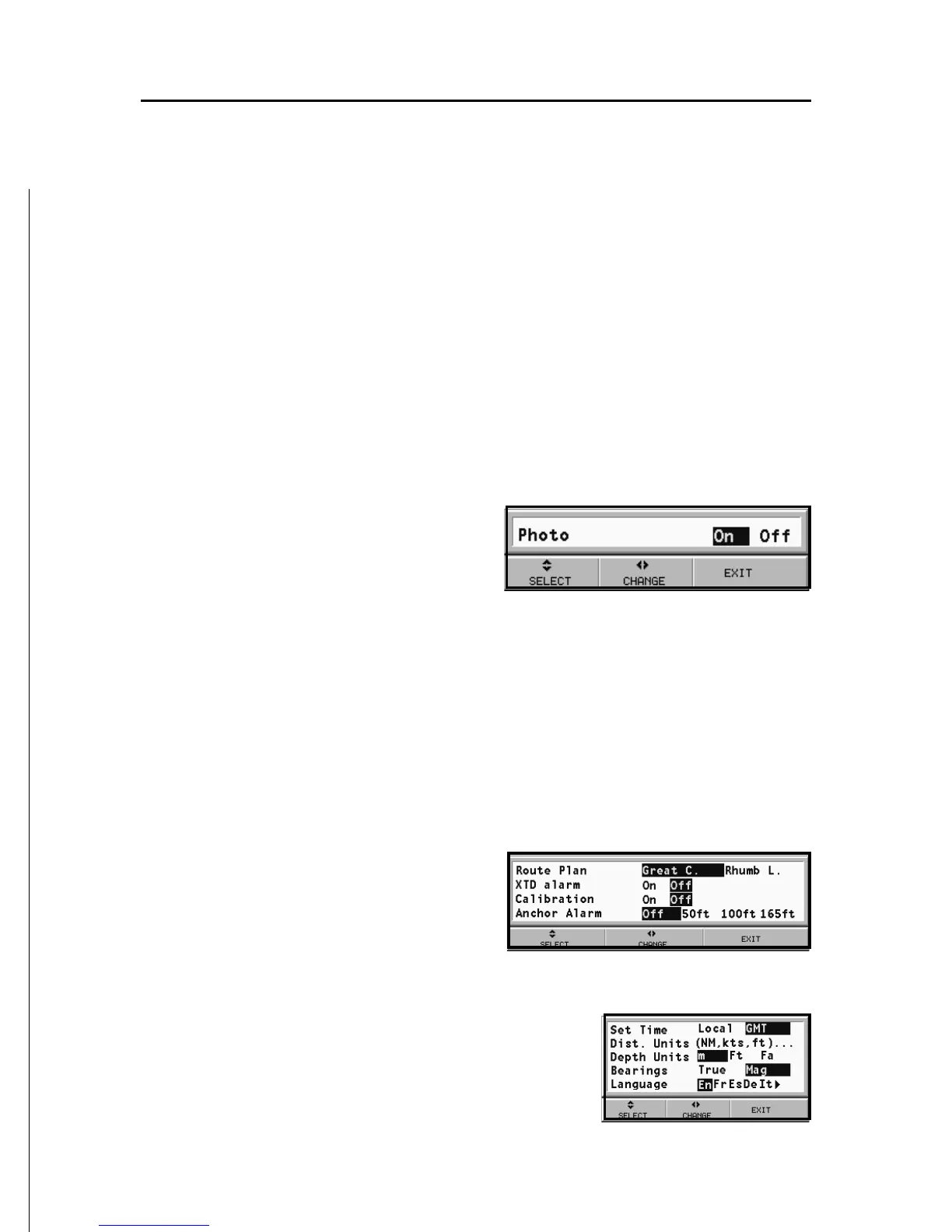
• Photo (ON/OFF)
Selects the type of texture for
the 3D display, to choose from
satellite photograph and
simple texture.
NAVIGATION
• Route Plan (GREAT C./RHUMB L.)
Selects the Route Planning mode between Great Circle or
Rhumb line.
• XTD Alarm (ON/OFF)
Sets the maximum deviation allowed from the route set.
• Calibration (ON/OFF)
Calibrates the ship’s position received by the GPS.
• Anchor Alarm (OFF/15m/
30m/50m)
Enables/disables the alarm
and sets the distance range
for the anchor alarm.
UNITS AND LANGUAGE
• Set Time (LOCAL/GMT)
Enters local time.
• Distance Units (NAUT/METR/STAT)
Selects distance units.