ESI-500
Pilot’s Guide 1-3
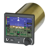
Description
Functional Description (continued)
1. When congured to operate with a MAG-500 for heading
reference input; the use of heading is not authorized to operate in
the following regions due to magnetic eld unsuitability:
• North of 70° N latitude
• South of 70° S latitude
• North of 65° N latitude between 75° and 120° W longitude
(northern Canada)
• South of 55° S latitude between 120° and 165° E longitude
(south of Australia and New Zealand)
The heading will fail if the magnetic dip angle exceeds 82º.
Attitude and air data information is still usable.
Limitations
If the aircraft does not already have a TAWS or Terrain alerting system
installed, the Synthetic Vision should be congured to display alert
shading (red and yellow) of the 3D terrain display, for caution and
warning annunciations of terrain or obstacle impact.
The navigation function can be congured for VOR/ILS or GPS or
both. The VOR/ILS provides the following display indications: VOR/
ILS Indications, Navigation Source, Selected Course, To/From
Indicator (VOR), Lateral Deviation, BC Annunciation (Auto detected
with a heading input), Vertical Deviation (ILS), and Marker Beacon.
The GPS provides the following display indications: Navigation Source,
Selected Course, Lateral/Vertical Deviation, To/From indication, and
Desired Track. The GPS also provides own ship position for the
Synthetic Vision and for the Terrain alerting system