9
The receiver will prompt you for
your local elevation, time and date.
Use the UP/DOWN and RIGHT/
LEFT ARROWs to enter these as
described above; press ENTER to
confirm each screen.
The receiver is now ready to perform one of its primary functions,
providing you with your current position.
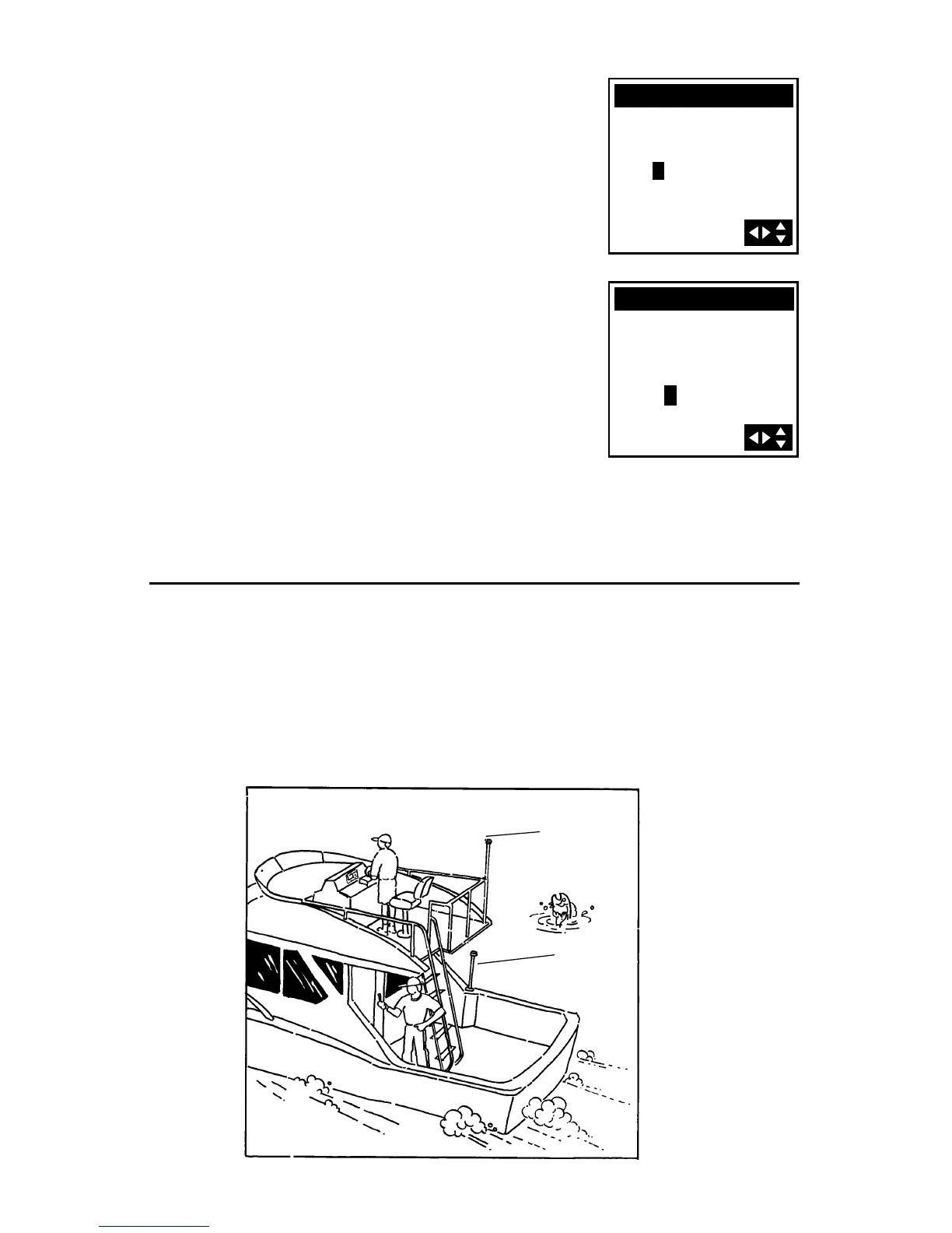
Proper Handling - Signal Reception
The illustrations show both the proper and improper placement of a fixed
antenna on a boat. Also, the fellow trying to get a position fix on the
deck of the boat would get better signals if he would move up to the
bridge. Physical obstructions (buildings, large trees, etc.) will block satellite
signals from reaching the receiver. If unable to get a position fix, move
the receiver so it has a clearer view of the sky, allowing it to choose from
all of the satellites currently available.
Good Antenna
Location
Poor Antenna
Location
+
COORDINATE
34`17.00N
118`39.00W
00000FT EL
COORDINATE
34`17.00N
118`39.00W
+00000FT EL
05:19PM