1-8 Raynav 300 GPS Plotter
Database Lists
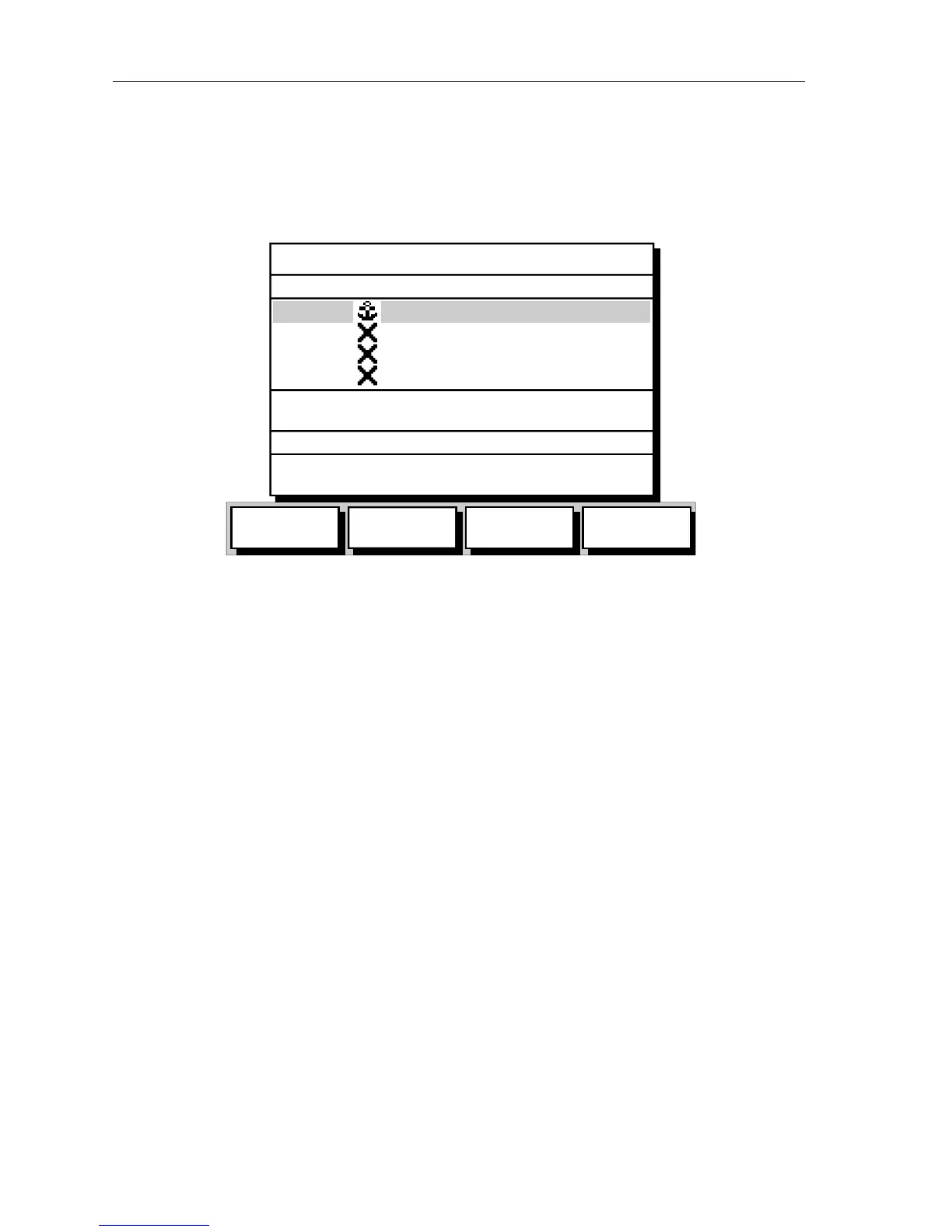
The waypoints, routes and tracks created on the display unit are stored in
database lists. You can view these lists and select items for editing as
shown in Figure 1-4.
Figure 1-4: Typical Waypoint List
As with pop-up menus, when a database list is on-screen, a set of
associated soft keys is also displayed. Use the trackpad to select an item
from the list, then use the appropriate soft key to select the function.
GOTO
WAYPOINT
EDIT
WAYPOINT
MAKE NEW
WAYPOINT
WAYPOINT
TRANSFER
SYMBOL NAME
WPT 001
WPT 002
WPT 003
WPT 004
N 50°50^000
W 001°06^000
POSITION
BRG 348°m
RNG 1.00nm
TEMP 20°C
DATE 23/11/01
DEPTH 12.3m
TIME 08:45:12
WAYPOINT LIST
D4906-2