Do you have a question about the Sokkia im-105 and is the answer not in the manual?
Explains the fundamental key operations for navigating the instrument's interface and functions.
Provides instructions and precautions for charging the instrument's battery.
Details the procedure for centering the instrument over a survey point using optical or laser plummet.
Explains how to level the instrument using both the circular and electronic levels.
Explains how to measure horizontal angles between two points and set the horizontal angle to 0°.
Details how to set a specific horizontal angle and use it for subsequent measurements.
Covers measuring both distance and angle simultaneously to a target.
Guides on inputting instrument station data and backsight azimuth angle for coordinate measurements.
Explains how to determine instrument station coordinates using resection measurement.
Details setting out points using coordinate data, calculating angles and distances.
Explains how to set out points based on horizontal angle and distance from a reference direction.
Covers setting out points indirectly using the REM measurement function.
Describes how to define a baseline by inputting or observing two points.
Explains how to find required point coordinates by inputting length and offset based on the baseline.
Details how to measure points' horizontal distance from a baseline and set out points along the line.
Guides on defining an arc by inputting parameters or observing points.
Explains how to set out points along a defined arc by inputting length and offset.
Describes how to define a baseline for projecting points onto it.
Explains how to project points onto a defined baseline and calculate distances.
Details the settings required before performing topography observation.
Covers the procedure for conducting topography observation, including RL observation.
Explains how to find points or distances by measuring to an offset point.
Details finding directions using included angles with offset points.
Covers offset measurement using two offset points and distance measurements.
Explains how to find center and width pegs for a straight line using reference and IP points.
Details finding center and width pegs for a circular curve using BC and IP points.
Describes finding center and width pegs for a spiral (clothoid) curve using reference and curve properties.
Explains finding center and width pegs for a parabola curve using reference and curve properties.
Covers finding coordinates of cardinal points, centerline pegs, and width pegs using three IP points.
Calculates coordinates and follow-up distances using intersection angle and curve properties.
Enables finding center and width pegs for a route containing multiple curves.
Details how to allocate functions to softkeys for efficient operation.
Explains how to measure and correct collimation error for accurate observations.
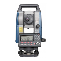
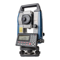
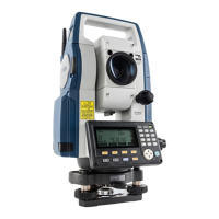
| Brand | Sokkia |
|---|---|
| Model | im-105 |
| Category | Measuring Instruments |
| Language | English |