Do you have a question about the Sokkia iM-52 and is the answer not in the manual?
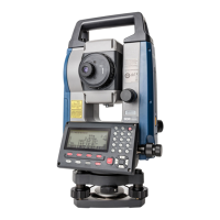
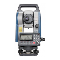
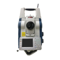
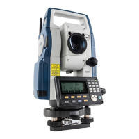
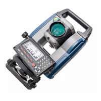
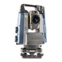
Detailed identification and description of all parts and functions of the instrument.
Explanation of basic key operations for navigating the instrument's interface and functions.
Description of various display screens, including Status, OBS mode, Measuring, and Top menu.
Step-by-step procedure for charging the instrument's battery using the provided charger.
Procedure for centering the instrument over the survey point using optical or laser plummet.
Step-by-step instructions for levelling the instrument using circular and electronic levels.
Procedure for setting up Bluetooth communication between the instrument and a companion device.
Detailed steps for manually sighting a target using the telescope, including focus and parallax elimination.
Procedure for entering instrument station coordinates, height, and azimuth angle.
Determining instrument station coordinates using resection measurement from known points.
Procedure for setting out a required point using coordinate data, calculating angles and distances.
Finding a required point based on horizontal angle and distance from the instrument station.
Procedure for defining a baseline by inputting or observing two points.
Procedure for defining an arc by inputting parameters or observing points.
Projecting a point onto a baseline and displaying distances from the first point and projected point.
Finding coordinates of center and width pegs for a straight line using reference and IP points.
Finding coordinates of center and width pegs on a circular curve using BC and IP points.
Calculating coordinates of center and width pegs on a spiral (clothoid curve).
Finding coordinates of center and width pegs on a parabola using reference and curve properties.
Calculating center pegs and width pegs for routes containing a series of curves.
Performing automatic calculation of cardinal points based on input curve properties.
Measuring and calculating the coordinates of a target point relative to a defined baseline.
Storing instrument station coordinates, point name, height, codes, and other parameters in the current JOB.
Storing backsight station data, including azimuth angle and target height.
Procedure for selecting the current JOB and the Coordinate Search JOB, and setting scale factor.
Registering or deleting coordinate data for known points using key entry or external instrument.
Procedure for outputting JOB data, including measurement results and settings, to a host computer.
Procedure for saving measurement data, known point data, and notes to a USB flash drive.
Loading known point data or code previously saved in a USB flash drive to the current JOB.
Configuring observation conditions related to angle measurement and tilt compensation.
Configuring observation conditions related to distance measurement, including modes and corrections.
Adjusting power-saving settings, resume function, and EDM eco mode.
Customizing softkey allocations in OBS mode to suit measurement conditions and operator preferences.
Methods for restoring instrument settings to initial defaults and initializing data.
Procedure for checking and adjusting the circular level for accurate leveling.
Procedure for checking and canceling tilt zero point error to ensure accurate angle measurements.
Measuring and correcting collimation error for accurate subsequent observations.
Checking and verifying the additive distance constant for accurate distance measurements.
Specifications for distance measurement, including method, signal source, and measuring range.
| Type | Total Station |
|---|---|
| Angle Measurement Accuracy | 2" |
| Angle Measurement Range | 360° |
| Telescope Magnification | 30x |
| Distance Measurement Range (Prism) | 5, 000 m |
| Laser Pointer | Yes |
| Operating Time | 10 hours |
| Working Temperature Range | -20°C to +50°C |
| IP Rating | IP66 |
| Distance Measurement Accuracy | ±(2mm + 2ppm) |
| Display | Dual Display |
| Protection Class | IP66 |
| Communication | Bluetooth, USB |