Do you have a question about the Sokkia SET530R/R3 and is the answer not in the manual?
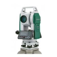
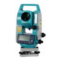
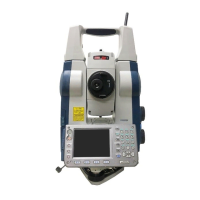
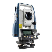
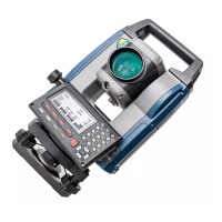
Identifies and labels all external components of the SET instrument.
Explains fundamental key operations on the instrument panel and wireless keyboard.
Provides a step-by-step procedure for charging the instrument's battery.
Guides on how to safely install and remove the instrument's battery.
Details the process of positioning the instrument precisely over the surveying point.
Explains how to level the instrument using circular and plate levels.
Steps to input instrument station coordinates, height, and target height.
Calculating target's 3D coordinates using station and backsight settings.
Determining instrument station coordinates using known point measurements (NEZ).
Determining instrument station height using known point measurements.
Setting out points based on horizontal angle and distance from a reference.
Setting out points using coordinate data and horizontal angle/distance.
Procedure for establishing a baseline by inputting coordinates of two points.
Procedure for establishing a baseline for point projection.
Projecting points onto a defined baseline and calculating distances.
Managing known point coordinate data via key entry or external instrument.
Adjusting EDM settings and other configuration parameters.
Customizing softkey allocations for efficient instrument operation.
| Type | Total Station |
|---|---|
| Accuracy | ±(2 mm + 2 ppm) |
| Laser Pointer | Yes |
| Waterproof/Dustproof | Yes |
| Operating Temperature Range | -20 °C to +50 °C |
| Display | LCD |
| Angle Accuracy | 2" |
| Distance Range with Reflector | 3, 000 m |