Do you have a question about the Sokkia SET 550 and is the answer not in the manual?
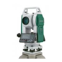
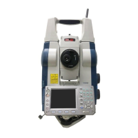
Overview of the Sokkia SET total station for users.
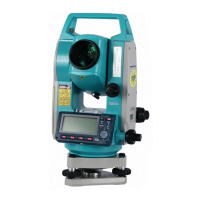
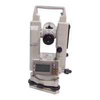
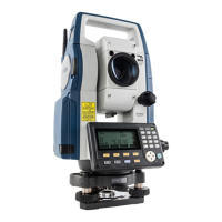
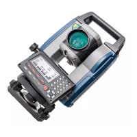
Detailed listing and description of the instrument's parts.
Covers essential key functions for basic instrument operation.
Guide to accessing and moving through the instrument's software menus.
Highlights why precise leveling is essential for obtaining reliable results.
Instructions for properly setting up the tripod for instrument stability.
Guidance on securely attaching the total station to the tripod.
Procedure for focusing the optical plummet onto the survey point.
Detailed guide for adjusting leveling screws to achieve instrument level.
Using the electronic display to check and adjust leveling.
Fine-tuning focus for optimal image clarity and parallax elimination.
Specific technique for measuring heights of inaccessible objects.
Introduction to different calibration techniques available for the instrument.
Setting the instrument's orientation relative to a defined coordinate system.
Procedure for calibration involving two established points.
Calculating the station's X,Y,Z coordinates via resection.
Inputting coordinates of known points for resection calculation.
Evaluating standard deviations to assess the reliability of resection results.
Saving initial coordinates and completing calibration after resection.
Advice on preventing common geometric errors in resection setups.
| Maximum Range (with prism) | 3, 000 m |
|---|---|
| Telescope Magnification | 30x |
| Battery Life | 10 hours |
| Operating Temperature | -20°C to +50°C |
| Type | Total Station |
| Angle Measurement Method | Absolute |
| Display | LCD |