600-00105-000 Rev 01 -33- FlightMax EX5000
Appendix - Tables
Symbols
The MFD’s Map uses symbols contained in its navigational database, based on your
navigational mode and flight situation. Map can display the following database items:
• Airports
• Navaids (VORs and NDBs)
• Airways ( Victor and Jet)
• Intersections, waypoints and other named fixes
• Class B, C, and D airspace
• Obstacles (>200’ AGL)
• Certain classes of special use airspace(Prohibited, Restricted, Warning,
Alert, and Military Operating Areas)
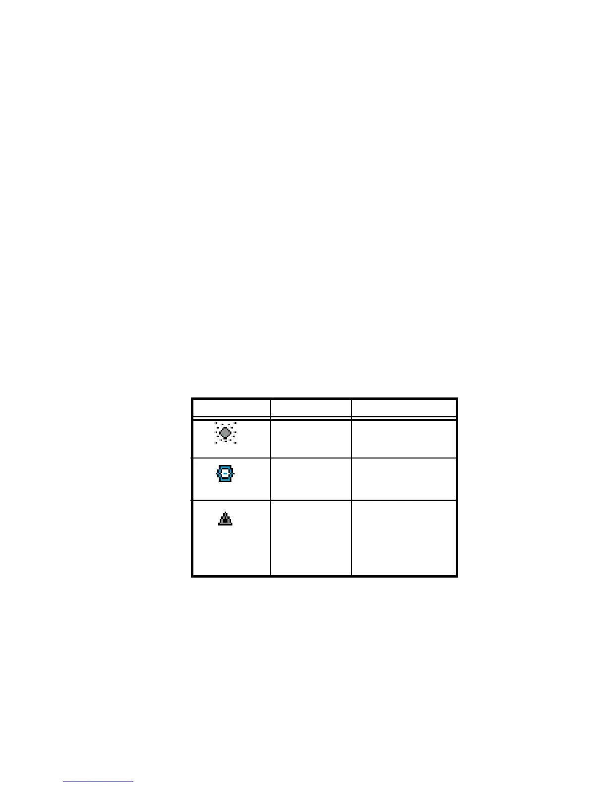
Navigational symbols used by Map are shown in Table 2 through Table 6.
Symbol Item Description
NDB All NDBs
VOR All VORs
Intersection Terminal, Jet, and
Victor airway
waypoints
(intersections)
Table 2: Map Symbols - Navigational Fixes