Do you have a question about the Garmin GDC 74A and is the answer not in the manual?
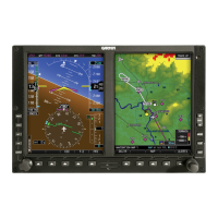
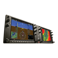
Provides an overview of the G1000 Integrated Avionics System as installed in the Piper PA-32 Saratoga.
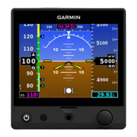
Covers the Primary Flight Display (PFD) and its flight instruments like airspeed, attitude, and altimeter.
Discusses abnormal GPS conditions and unusual attitude indications and procedures.
Details the Engine Indication System (EIS) display, showing electrical, fuel, and engine parameters.
Introduces the integrated flight management system, PFD, and MFD displays for navigation.
Explains how to use map displays for situational awareness, including orientation and range.
Describes how to select, enter, and manage waypoints including airports, intersections, and user waypoints.
Explains how to initiate and activate direct-to navigation to waypoints, airports, or map pointers.
Covers building flight plans, entering waypoints, adding airways, and modifying procedures.
Describes how to access and load departure, arrival, and approach procedures.
Discusses abnormal operation modes, specifically Dead Reckoning (DR) Mode.
Explains the optional SiriusXM Weather feature, including activation and product display.
Covers Flight Information Service-Broadcast (FIS-B) weather data reception and display.
Explains the Terrain Proximity system, how it displays terrain/obstacle data, and its limitations.
Explains the TAWS-B system, its operation, and alerts for terrain and obstacle avoidance.
Details the Traffic Information Service (TIS) system for aircraft detection and avoidance.
Covers the ADS-B system overview, its classifications, and automatic dependent surveillance-rebroadcast.
Discusses the optional S-TEC Fifty Five X Autopilot and its flight director mode annunciation.
| Brand | Garmin |
|---|---|
| Model | GDC 74A |
| Category | Avionics Display |
| Language | English |