

Do you have a question about the Garmin GPSMAP 196 and is the answer not in the manual?
Lists all items included in the GPSMAP 196 package for initial setup.
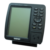
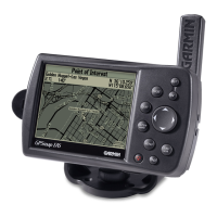
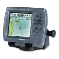
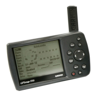
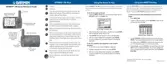
Details the physical components, display, and ports of the GPSMAP 196 unit.
Provides instructions for correctly installing AA batteries into the GPSMAP 196 for operation.
Step-by-step guide for installing the yoke mount, including configuration options.
Covers safety warnings and procedures for mounting the GPSMAP 196 on a vehicle dashboard.
Explains the function of each button on the GPSMAP 196's keypad for operation.
Instructions for powering the GPSMAP 196 on and off using the POWER key.
Describes the different operational modes (Aviation, Land, Water) and their customization.
Explains on-screen cursor, fields, and the process for entering data and selecting options.
Details how to navigate through the main display pages using PAGE and QUIT keys.
Guide to selecting an airport or navaid as a destination in Aviation mode.
How to find and view information about nearby airports and navaids using the NRST/FIND key.
Guide to finding and selecting destinations in Land and Water modes.
Describes the map display, scales, selectable data fields, and context-sensitive options.
Explains how to move the pointer on the map to view different areas and select map items.
Instructions on removing map detail for improved readability in congested areas.
Steps to capture and save the current location as a user-created waypoint.
| power source | Four "AA" batteries |
|---|---|
| battery life with no backlighting | Up to 16 hours |
| battery life with full backlighting | Up to 4 hours |
| display size | 3.8" diagonal (9.65 cm) |
|---|---|
| display resolution | 320 x 240 pixels |
| display type | 12-level gray high contrast FSTN with backlighting |
| temperature range | 5ºF to 158ºF (-15ºC to 70ºC) |
|---|---|
| case | Fully gasketed, high impact plastic alloy, waterproof to IEC 529 IPX7 standards |
| user data storage | Indefinite |
| size | 6.18"W x 3.4"H x 2.25"D (15.7 x 8.64 x 5.72 cm) |
|---|---|
| weight | 1.5 lbs (680 g) with batteries |