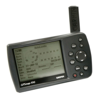
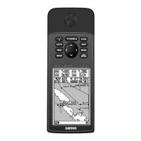
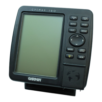
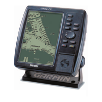
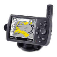
Do you have a question about the Garmin GPSMAP 192C and is the answer not in the manual?
Explains the manual's structure and content for user guidance.
Details waterproof rating (IPX7) and precautions for water submersion.
Steps for powering on, self-test, and acquiring satellite signals.
How to use the simulator for practice; unit does not track satellites.
Description of the function of each button on the device.
Methods for storing up to 3,000 waypoints with symbols and comments.
Using NAV key for Go To, Routes, and TracBack navigation.
Retracing path using stored track logs for navigation.
Creating and managing up to 50 routes with up to 254 waypoints each.
Using the FIND key to search for waypoints, map items, and other data.
DSC features like Distress Calls and Position Reports.
Comprehensive display of cartography, plotting, and navigational data.
Adjusting the map display's zoom level using IN/OUT keys.
Graphic steering guidance emphasizing bearing and course over ground.
Steering guidance for straight-line courses and off-course indications.
Displays active route points, updating dynamically during navigation.
Shows satellite acquisition status, receiver status, and accuracy information.
Explains Wide Area Augmentation System (WAAS) for GPS accuracy.
Manages waypoints via User and Proximity sub tabs, including proximity alarms.
Displays stored routes, allows activation for navigation, and route management.
Controls track log recording, management, and TracBack activation.
Changes display properties for the Map page, including detail and orientation.
Controls input/output formats for external device connections.
Define alarm settings for system, navigation, and sonar functions.
Functions as a fishfinder/flasher, displaying arches, icons, and bottom contours.
Accesses additional functions and layout/data field options for the Sonar page.
Explains how sonar works, including transducer function and sound wave reflection.
Helps determine bottom hardness by showing bottom returns in different colors.
Lists physical, performance, power, and accuracy specifications of the unit.
Instructions for proper installation to ensure optimal performance.
Details on connecting the power/data cable and harness configurations.
Information on satellite sky view, location, and signal strength indicators.
Explains Wide Area Augmentation System (WAAS) for GPS accuracy.
Glossary of common navigation terms used in the manual and on the device.
Lists and explains various messages the unit may display during operation.
Lists optional accessories to enhance the unit's functionality.
Details the product's one-year warranty, coverage, and limitations.
States compliance with FCC Part 15 limits and operational conditions.
Provides crucial safety warnings and cautions for using the GPSMAP 192C.
