Do you have a question about the Garmin GPSMAP 178 and is the answer not in the manual?
Covers preface, registration, software license, and compliance.
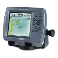
Discusses warnings, warranty, and the unit's key features.
Details the packing list, accessories, and product support information.
Learn about the unit's keypad functions and basic navigation keys.
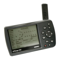
Steps for powering on, initializing, and understanding unit display pages.
How to mark waypoints, create routes, and manage them.
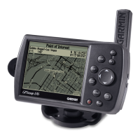
Using the Map Page, cursor, and related options for navigation.
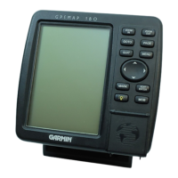
Detailed explanation of the Sonar Page and its adjustment menus.
Guidance on using Compass and Highway pages for navigation.
Comprehensive guide to managing waypoints, routes, and finding items.
Accessing and understanding the various tabs in the Main Menu.
Instructions for installing antenna, unit, wiring, and transducers.
Instructions for installing and removing optional Garmin data cards.
Overview of the LORAN-C system and how to set it up on the unit.
List of map datums and their corresponding geographical locations.
Explanation of pop-up messages for unit operating characteristics.
Definitions of common navigation terms used with the unit.
Chart of UTC time offsets for longitudinal zones and daylight savings.
Introduction to basic sonar principles and how the unit displays underwater data.
Understanding transducer coverage and how to read sonar charts.
Explanation of Whiteline for bottom hardness and Thermoclines.
Lists physical and performance specifications of the GPSMAP 178/178C.
Provides cleaning, storage, and support contact information.
Alphabetical listing of topics and their corresponding page numbers.
| Display Size | 5 inches |
|---|---|
| Display Type | 4-level grayscale LCD |
| Waterproof Rating | IPX7 |
| GPS Receiver | Yes |
| Weight | 1.5 lbs |
| Waypoints | 3000 |
| Routes | 50 |
| Map Support | Yes |
| Receiver | 12-channel |
| Track Log | 10, 000 points |