65
User Manual
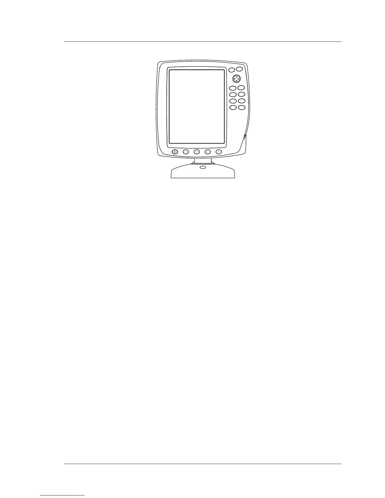
CHART MASTER V6/V6i
G
O
T
O
PAGE
MENU
HOME
CLEAR
ENTER
MOB
PWR
+
_
FEATURES & FUNCTIONS
♦ Direct sunlight viewable color LCD display
♦ Worldwide Built-in Cartography showing C-MAP detail up to 2.0 NM
♦ Positional information from GPS
♦ GPS Signal Status page
♦ Navigation Data pages
♦ 500 Waypoints/Marks and 25 Routes (50 Waypoints max per Route)
♦ Create, Move, Insert, Edit or Erase Waypoint
♦ Create, Move, Edit or Erase Mark
♦ Navigation to Destination
♦ Create, Save, Name, Send/Receive, Edit or Follow a Route
♦ Route Data Report and User Points (Marks/Waypoints) List pages
♦ Find Ports Services, Ports By Name, Ports By Distance, Tide Stations,
Wrecks, Obstructions, Cursor, POIs, Lakes By Name, Lakes Informa-
tions, Coordinates or User Points
♦ Display Tide info and Tide Graph page
♦ Automatic Info on cartographic objects or User Points
♦ Display vessel's position, direction and Track
♦ Alarms Handling
♦ Man OverBoard (MOB) to navigate back to a missing person or object
♦ Simulation Mode with cursor control
TECHNICAL SPECIFICATIONS
♦ Power consumption : 7.5 Watt max, 10 - 35 Volt dc
♦ Interface : NMEA0183
♦ Autopilot Interface : NMEA-0180, NMEA-0180/CDX, NMEA-
0183
♦ Display : Sun Light Viewable Color LCD (active area 5.7")
♦ Display Resolution : 240 x 320 pixels
♦ Cartography : C-MAP C-CARD
♦ Operating temperature range : 0/+55 degrees Celsius
♦ Memory : Non volatile with battery back-up
♦ Keyboard : Silicon rubber, backlight


 To Next Page