EasyManuals Logo

OXTS RT3000 User Manual

OXTS RT3000
133 pages
To Next Page IconTo Next Page
To Previous Page IconTo Previous Page
Page #110 background imageLoading...
Page #110 background image
110
Oxford Technical Solutions
Offset
(bits)
Length
(bits)
Type
Units
Factor
Offset
Signals
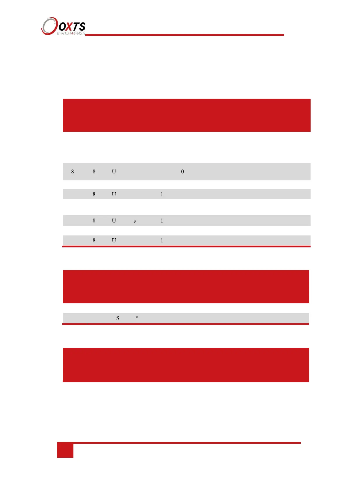
The following tables describe the signals in each of the messages.
Table 31. Identifier 600h (1536), DateTime
0 8 U Year 1 0
Year within century
(e.g. ‘16’ during year
2016)
TimeYear
16 8 U Month 1 0 Month TimeMonth
32 8 U s 0.01 0
Hundredths of
TimeHSecond
current second
48 8 U Min 1 0 Minutes TimeMinute
Note: time is always reported as GPS time. Currently this is 16 s different from UTC.
Table 32. Identifier 601h (1537), LatitudeLongitude
0 32 S ° 1e-7 0 Latitude PosLat
Table 33 Identifier 602h (1538), Altitude
0 32 S m 0.001 0 Altitude Altitude
By default the altitude is output relative to mean sea level, not WGS 84. The datum can be changed using
NAVconfig.
Description Signal name
Year
100
Century (e.g. ‘20’
during 2016)
TimeCentury
56
Hour
0 Hours
TimeHour
32
32
1e-7
0 Longitude
PosLon
24
Day
0 Day
TimeDay
40
0 Seconds
TimeSecond
Description Signal name
Offset
(bits)
Offset
(bits)
Length
(bits)
Length
(bits)
Type
Type
Units
Units
Factor
Factor
Offset
Offset

Table of Contents

Questions and Answers:

Question and Answer IconNeed help?

Do you have a question about the OXTS RT3000 and is the answer not in the manual?

OXTS RT3000 Specifications

General IconGeneral
BrandOXTS
ModelRT3000
CategoryMeasuring Instruments
LanguageEnglish

Related product manuals