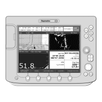
B-2 Raynav 300 GPS Plotter
The following data, if available, are transmitted on the SeaTalk port:
Data Output SeaTalk NMEA Out
Position ✔ GGA, GLL, RMC, RMA
Speed Over Ground and Course Over Ground ✔ RMC, VTG, RMA
Waypoint Data ✔ RMB, APB, BWC, BWR
Depth ✔ -
Apparent Wind Angle and Speed ✔ -
Boat Speed Through Water ✔ -
Total Log and Trip Log ✔ -
Water Temperature ✔ -
Heading ✔ -
Magnetic Variation ✔ RMC, RMA
Time (UTC) ✔ RMC, BWC, BWR, GGA, GLL
Date ✔ RMC
MOB data ✔ -
Cursor Range & Bearing ✔ -
Waypoint/Route Transfer - WPL, RTE
Other Data: Datum (SeaTalk, DTM); Satellite Data (SeaTalk, GGA); GPS Data (SeaTalk, GGA); DGPS Data
(SeaTalk, MSS, GGA); WAAS Data (SeaTalk)
81171_4.BOOK Page 2 Thursday, November 29, 2001 11:34 AM