2-4 Raynav 300 GPS Plotter
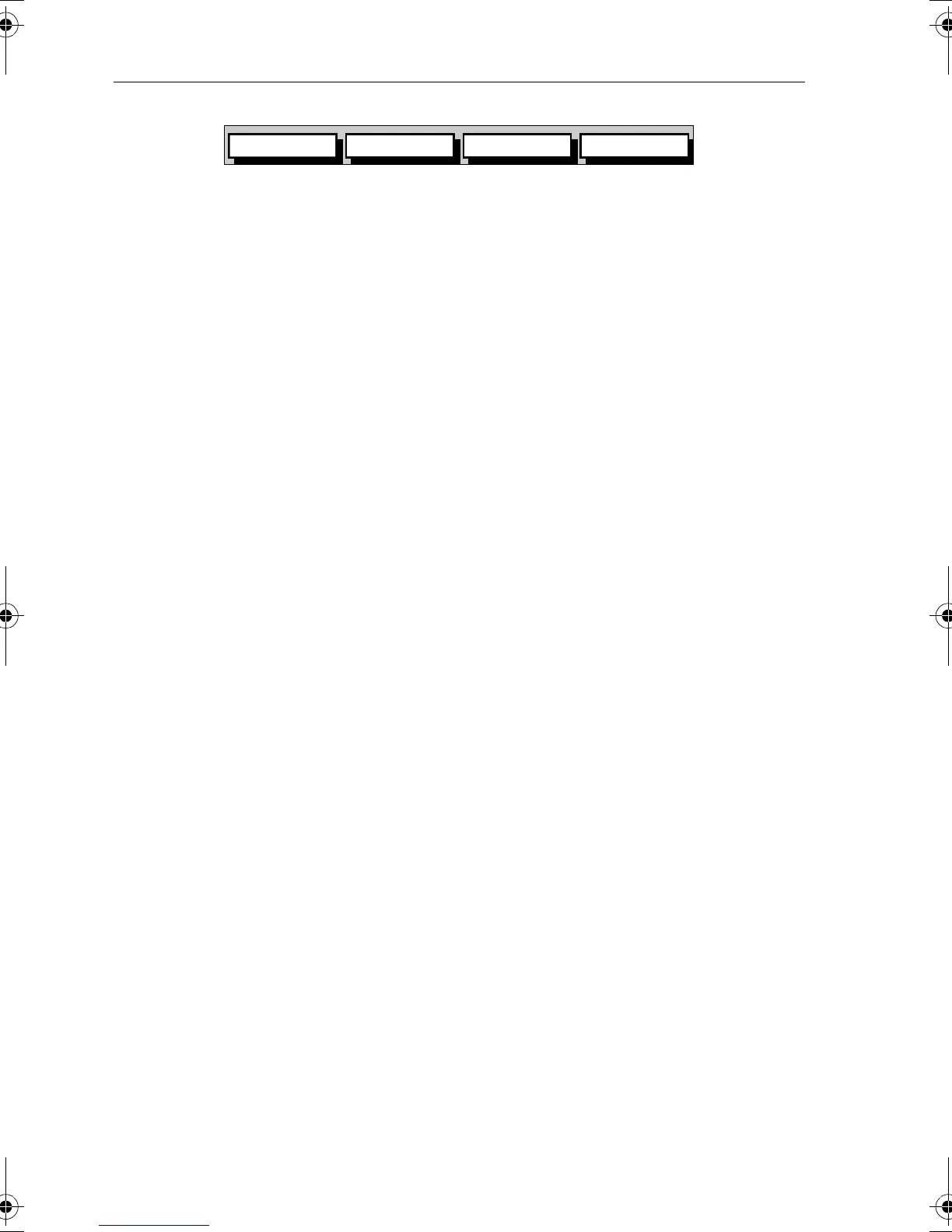
Figure 2-4: Default Soft Keys
On completion of an action using the soft keys, press CLEAR to return to
the default screen; you may need to press
CLEAR several times to
back-track through the soft key hierarchy.
Note: If you have set up your system so that the default soft keys are not
permanently displayed, press any soft key to display the labels.
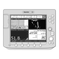
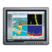
Selecting the Display Mode
The DISPLAY key is used to select the desired display mode. The
following modes can be selected.
➤ Select the following modes by repeat presses of the DISPLAY key
(Figure 2-5):
• GPS/Waypoint display
• Boat Data (three pages)-Environment Data (two pages)
• Course Deviation Indicator (CDI)-Bearing/Distance Indicator (BDI)
• Data Boxes
• Data Log
• Plotter display
• Return to GPS/Waypoint display
The complete ranges of pages available in Boat and Environment Data
modes are described in Chapter 3.
GOTO SCREENROUTE FIND SHIP
D4897-1
81171_4.BOOK Page 4 Thursday, November 29, 2001 11:34 AM