3-8 Raynav 300 GPS Plotter
Environment Data
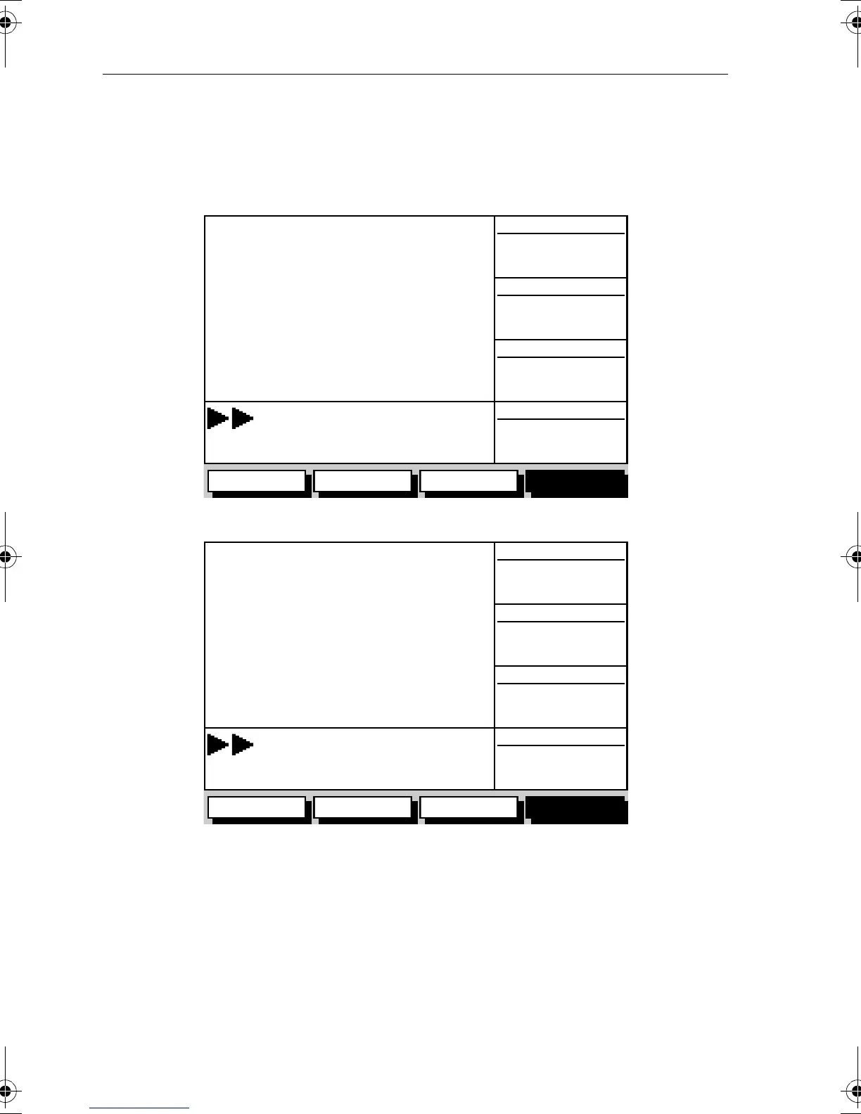
The Environment Data display comprises two data pages, selected in turn
by the
ENVIRONMT soft key. These pages are shown in Figure 3-11 and
Figure 3-12.
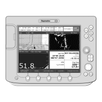
Figure 3-11: Environment Data #1
Figure 3-12: Environment Data #2
D4946-2
WIND
SSW 7
050°
M
320°M
RUDDER
COG
HEADING
ROUTE GOTO BOAT DATA ENVIROMNT
WIND (TRUE)
STEER STARBOARD
WPT 004
---
105°STBD
32.0 kts
D4947-2
WIND
SSW 7
050°
M
320°M
RUDDER
COG
HEADING
ROUTE GOTO BOAT DATA ENVIROMNT
WIND (APP)
STEER STARBOARD
WPT 004
---
105°STBD
32.0 kts
81171_4.BOOK Page 8 Thursday, November 29, 2001 11:34 AM