6
|
GO XSE | QuickStart Guide - EN
Charts
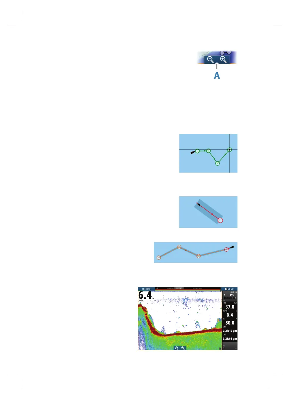
• Zoom the chart by using spread or pinch gestures, by using
the zoom buttons (A).
• Move the view in any direction by panning the chart.
• Display information about a chart item by tapping the item.
Waypoints
Save a waypoint at a selected location by positioning the cursor on the panel, and
then selecting the new waypoint option in the menu.
Routes
To create a route:
1. Tap the screen
2. Select the new route option in the menu
3. Tap the chart to position the first routepoint
4. Continue tapping the screen to position additional
waypoints
5. Save the route by selecting the save option from the menu
Navigating
To navigate to cursor position:
1. Tap the screen to position the cursor
2. Select the goto cursor option in the menu
Navigate a predefined route by:
• Tapping the route to make it active, then
selecting the start option in the menu.
• Selecting the route from the Routes dialog,
then selecting the start option in the dialog.
Echosounder
• Zoom the image by tapping the
zoom buttons.
• View echosounder history by
panning the image.
• Adjust gain and color using the slide
bar in the menu.
• Toggle auto gain ON/OFF from the
menu.
AMAC IMPRESOS • NAVICO • 988-11558-001 • CYMK • 4/4 • 36 PÁGINAS • MEDIDA FINAL: 5.83" X 8.27"

 Loading...


