F For safety reasons electronic navigation should
always be combined with authorized paper
charts.
4HE[GOTO]KEYGIVESYOUDIRECTACCESSTOTHECHARTDIS
PLAYORLOADCHARTDISPLAYFROMMENUPRESS[MENU],
[1], [1])
’Show scale’ can be set ON/OFF in [MENU],[1],[3].
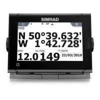
The top line of the chart
display (with cursor off)
will give you course, speed
and ship’s position.
With cursor active, the top
line will show the cursor
position in lat/long, bearing
and distance from actual
position to cursor position.
The ship symbol indicates the present position on the
chart and the pointer informs of the actual true course
(course over ground). There is a built-in autohome
function which automatically move the chart to keep
the ship symbol visible on the screen (with cursor off).
GOTO
58°N
56°N
5°E 10°E15°E
#pKNp.p%
←110nm→
1:
CHART
#HARTDISPLAY
2:Turn cursor ON
3:Chart setup
#(!24MENU
#(!24
KEYSTOPRESS
'.-+))#HARTANDPOSITIONMENUS #HAPTER
13
 Loading...