Job Menu
R-67
Note: If a boundary is defined, only polylines that fall within the
boundary can be added.
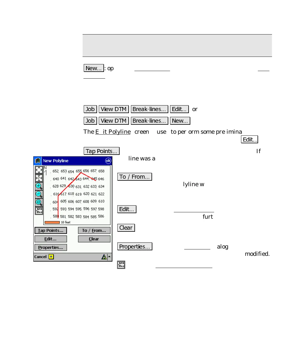
: opens the New Polyline
screen, which is identical to the Edit
Polyline screen and is used to create a new polyline.
Edit Polyline
.
* )(,
2
'#
or
.
* )(,
2
The Edit Polyline screen is used to perform some preliminary editing
to a polyline prior to accessing the polyline editor with the
'#
key.
(
: allows you to tap points to define a new polyline. If a
polyline was already selected prior to accessing this
screen, it will be replaced by the polyline being created.
( "
: allows you to define a range of points that
define a polyline. If a polyline was already selected prior
to accessing this screen, it will be replaced by the
polyline being created.
'#
: accesses the Polyline Editor
, described on Page
R-48, where the polyline can be further edited.
: will permanently remove the selected polyline
from the job.
: opens the New Line
dialog box where the
description, layer and feature attributes can be modified.
: opens the Map Display Options screen (Page R-245)
to select what is displayed on the screen.



 To Next Page