Do you have a question about the ZENEC Z-N326 and is the answer not in the manual?
Guides through the initial configuration process for the navigation system, including language and preferences.
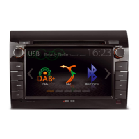
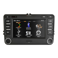
Explains the functionality and use of buttons, sliders, touch gestures, and the virtual keyboard on the Z-N326.
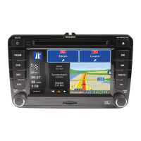
Describes the main screen showing the planned route, including various data fields, markers, and route information.
Details the options available in the navigation menu for route planning, information access, and system settings.
Covers various methods to select a destination, including address, places, saved locations, and map selection.
Explains how to view route details, total length, time, and available route alternatives.
Details methods to modify a planned route, such as setting a new starting point or adding destinations.
Describes how to add current or selected locations to saved locations for future use.
Explains how to run a simulated navigation to preview the planned route.
Covers switching to and using off-road navigation mode, including destination selection.
Explains fundamental navigation concepts like GPS reception, voice types, and route calculation.
Details functions like 'Where Am I', 'Help Nearby', and 'Country Information' available in the navigation system.
Explains how to configure navigation settings, including route preferences, sound, and display options.
Provides solutions for issues related to weak or unavailable GPS signal reception.
Offers solutions when the entered address cannot be found in the digital map data.
Addresses issues where the planned route is too long or includes minor roads, suggesting route planning method adjustments.
Explains how to disable or adjust speed limit warnings, even when the actual limit is met.
Resolves issues where keyboard buttons are inactive, typically due to map data limitations.
Provides solutions for when junction view obstructs the map display, and how to turn off the feature.
| Display Size | 6.2 inches |
|---|---|
| Resolution | 800 x 480 pixels |
| Touchscreen | Yes |
| Bluetooth | Yes |
| Radio | FM/AM |
| Apple CarPlay | No |
| Android Auto | No |
| DVD Player | Yes |
| SD Card Slot | Yes |
| Video Playback | Yes |
| Audio Playback | Yes |
| Steering Wheel Control | Yes |
| Rear View Camera Input | Yes |
| Navigation | Yes |