EasyManuals Logo

Apollo MX20 User Manual

Default Icon
35 pages
To Next Page IconTo Next Page
To Previous Page IconTo Previous Page
Page #17 background imageLoading...
Page #17 background image
I)ct¡ilcd Opcntion
ãD
st
c-
e-
e)a
t)
.a)
3)
era
e)
e)a
e-
e-
era
e-
e-
È-
u)
ù)
c,a
a)
c)
€-
a)
a)
r-
Õ-
e-
3-
€-
e,a
e-
e-
e)
€ra
3-
Cra
a,a
a-
¡-
ù'a
¿
Dctrilcd Opcration
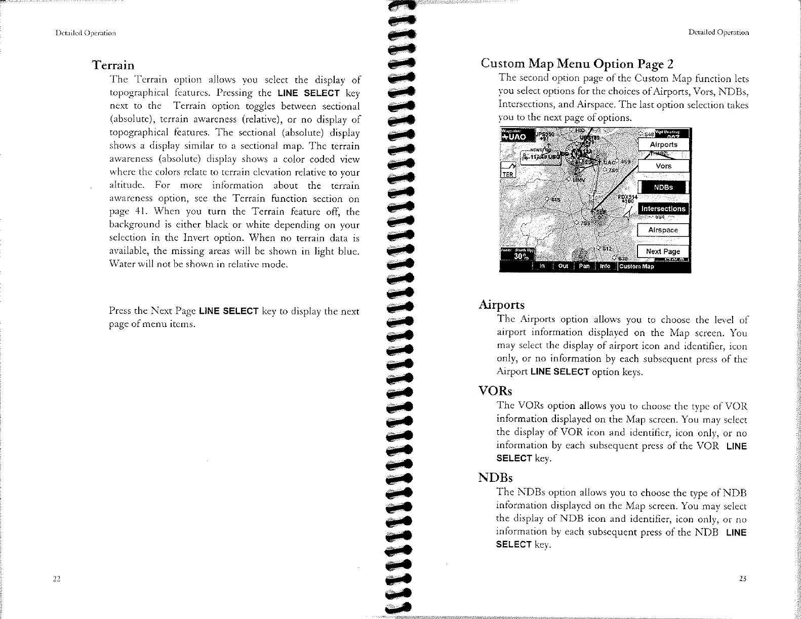
Custom
Map
Menu
Option
Page 2
The
second
option
page
of the
Custom Map
function lcts
vou
select
options for
the choiccs
of
Airports, Vors,
NDBs,
Intersections,
and Airspace.
The last
oprion
sclcction takcs
vou
to
the ncxt pagc
ofoprions.
Airports
The Airports
option allows
you ro
choosc thc levcl
of
airport
information
displayed
on rhe
Map scrccn.
You
may
sclect
the display
of airporr
icon and idcntifìcr,
icon
only, or no
information
by
each subscqucnt
press
of thc
Airport LINE
SELECT
option
keys.
VORs
'fhe
VORs
option allows
you
ro choosc
thc typc
of
VOIì
information
displaycd
on rhc
Map screcn. You
may sclcct
the display
of
VOR
icon
and idcntificr,
icon
only, or no
information
by
each subsequcnt
prcss
of thc
VOIì
LINE
SELECT
key.
NDBs
The
NDBs
option allows
you
ro choosc
thc typc of NDB
information
displayed
on rhc Map
screcn. You
may sclcct
the display
of NDB
icon and
identifìcr,
icon only,
or no
information
by
each subsequenr
press
of thc
Nl)B LINE
SELECT
kev.
Terrain
Thc
'fcrrain
option allows
you sclect
the display
of
topographical
fèaturcs. Prcssing
thc LINE
SELEGT
key
ncxt
to thc Tcrrain
option togglcs
betwecn
sectional
(absolutc),
tcrrain awarcncss
(relativc),
or
no display
of
topographical
fcaturcs.
Thc scctional
(absolute)
display
shows a
display similar to
a scctional map.
Thc terrain
awârcncss
(absolutc)
display shows
a color coded view
whcrc
thc colors rclatc to
tcrrain clcvation
relativc to
your
altituclc. For morc
information
about the
terrain
âwarencss
option, scc the Tcrrain
function
scction
on
pagc 41. Whcn
you
turn thc Terrain
fearurc off,
the
background
is either
black or white
depcnding
on your
sclcction in
thc Invert option.
Whcn
no terrain
data is
available,
the missing arcas will
be shown
in light
bluc.
'Watcr
will not
bc shown in relative
mode.
Prcss
thc Ncxt Pagc LINE
SELECT kcy
to display rhc
nexr
paec of mcnu
itcms.
\
"J
I

Other manuals for Apollo MX20

Questions and Answers:

Question and Answer IconNeed help?

Do you have a question about the Apollo MX20 and is the answer not in the manual?

Apollo MX20 Specifications

General IconGeneral
BrandApollo
ModelMX20
CategoryMonitor
LanguageEnglish