106
©
2022 DJI All Rights Reserved.
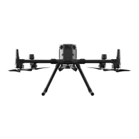
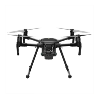
MATRICE 30 SERIES User Manual
PinPoint, or select the previous or next PinPoint. Users can quickly generate and select PinPoints by
using the buttons.
5. Tap to switch to map view:
a. The PinPoint and its name will be displayed on the map accordingly.
b. In map view, you can also set a PinPoint by tapping the target. The point is at the cross
hairs in the center of the map, and the altitude is the current ight altitude of the aircraft.
c. Tap to select a PinPoint on the map to view the creator of the point, the distance between
the target point and the aircraft, the altitude, latitude and longitude of the target point, or
set the PinPoint as the Home Point, or edit or delete the PinPoint.
PinPoint positioning is limited by factors such as the GNSS positioning accuracy and
gimbal attitude accuracy. The latitude and longitude, horizontal distance, Navigation
Display, and AR projection are provided for reference only.
Editing PinPoints
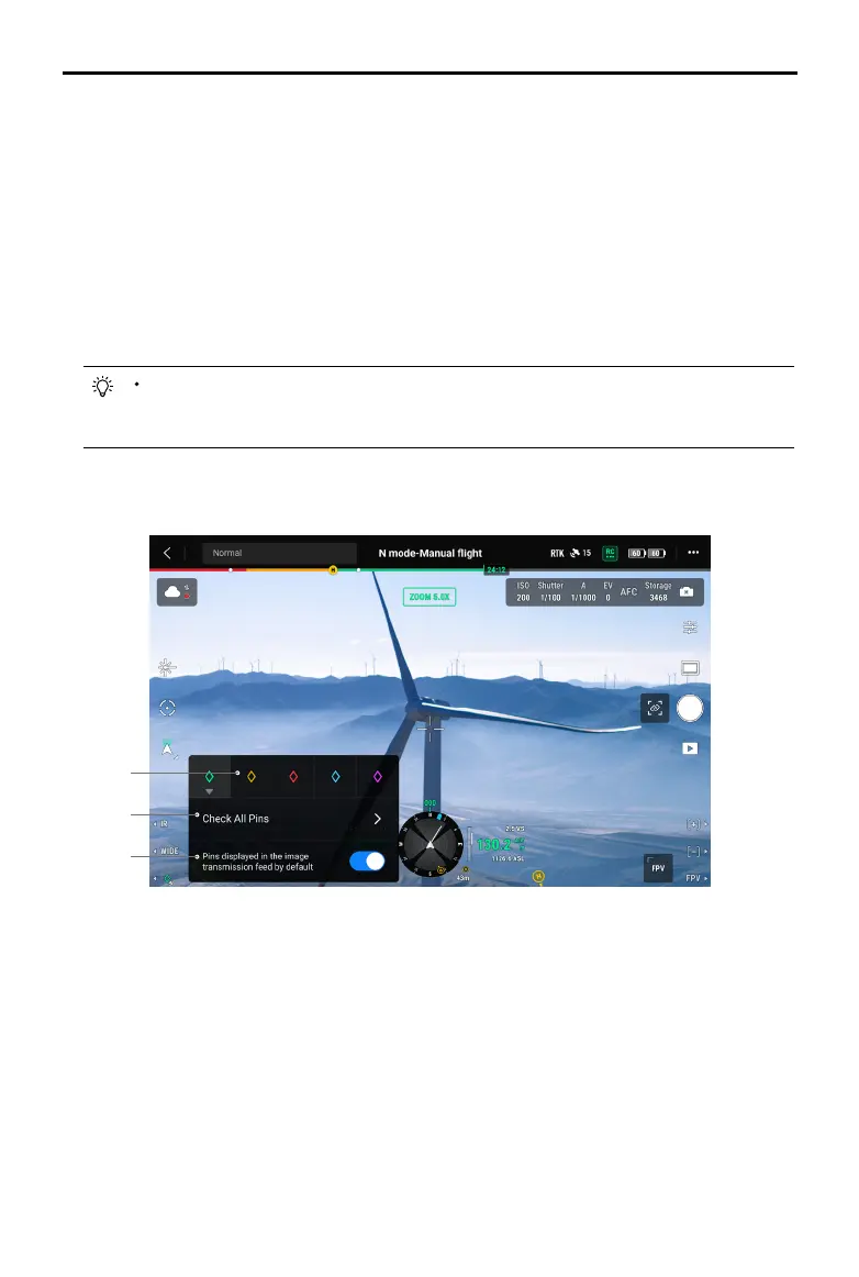
1
2
3
1. Press and hold the L3 button on the remote controller to bring up the settings panel of the PinPoint.
There are ve color options for the PinPoint, and it is recommended to set a color for each type of
target as required by the operation scenario.
2. Tap to expand the PinPoint list to view all the target points.
3. Set whether to display the newly created PinPoint in video transmission view.

 Loading...