92
©
2022 DJI All Rights Reserved.
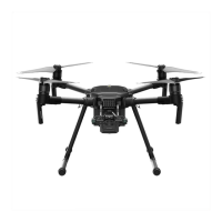
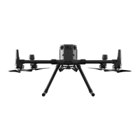
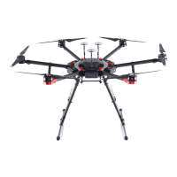
MATRICE 30 SERIES User Manual
13. RTH Altitude (RTH): displays the RTH altitude congured by the ight controller setting.
14. True Altitude (ASL): displays the true altitude of the aircraft.
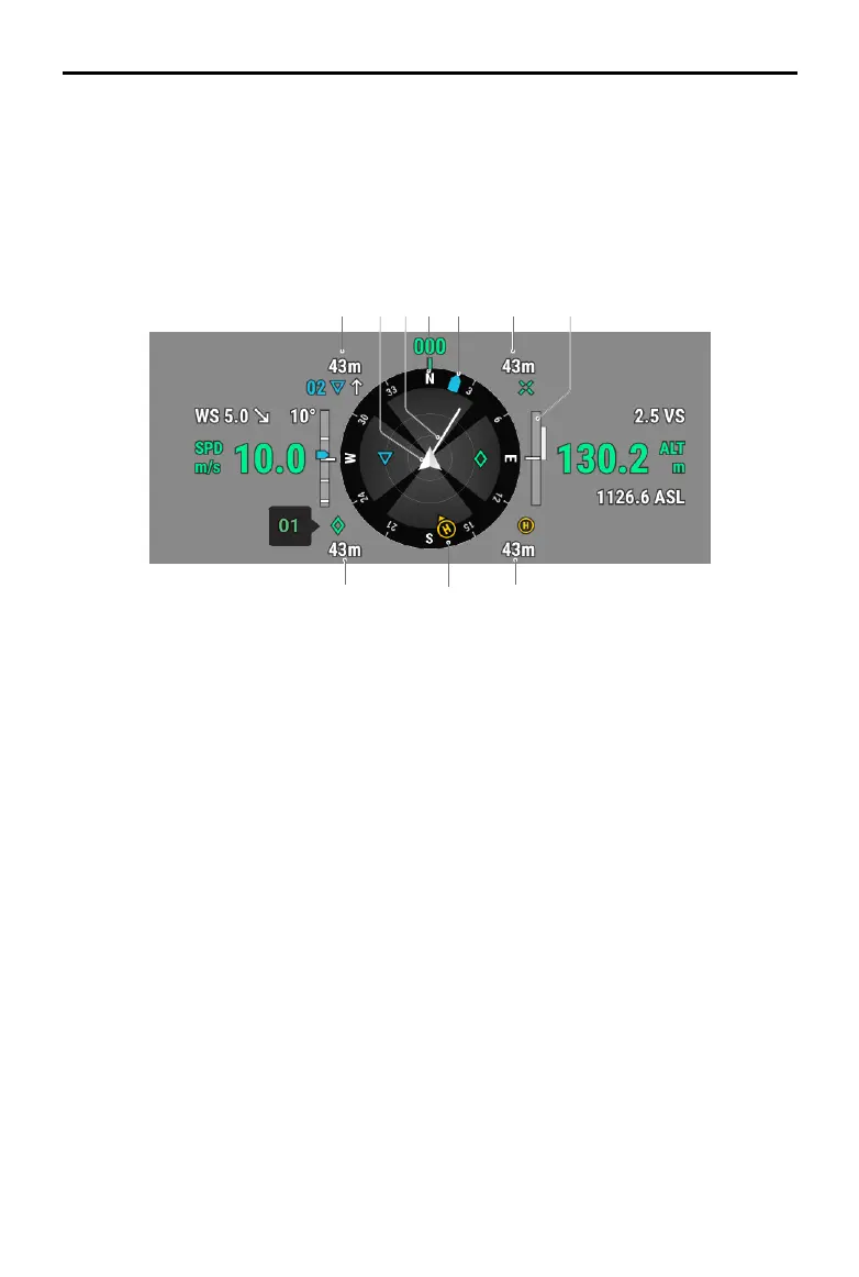
15. Navigation Display: shows the aircraft and gimbal orientation, and obstacle avoidance information
from a top-down perspective. Refer to the Navigation Display section for more details.
Navigation Display
1 2 3 4
5 6
9 10
7
8
Navigation Display only shows the speed, altitude and other information on the left and right sides
in gimbal camera view. In FPV camera view, such information is shown in the form of Primary Flight
Display.
1. Aircraft: Navigation Display rotates with the aircraft.
2. Aircraft Horizontal Speed Vector: The white line drawn by the aircraft indicates the ight direction
and speed of the aircraft.
3. Aircraft Orientation: displays the current orientation of the aircraft. The displayed degree is counted
clockwise from the north, with the north assumed as 0 degrees and the step length being 30
degrees. For example, the number 24 in the compass indicates the heading of the aircraft after a
240-degree clockwise rotation from 0 degrees.
4. Gimbal Orientation: displays the orientation of the gimbal relative to the aircraft in real time. The icon
rotates with the gimbal.
5. Home Point and Remote Controller Orientations:
a. Displays the home position relative to the aircraft. When the Home Point horizontal distance
exceeds 16 m, the Home Point icon will stay on the edge of the Navigation Display.
b. When the relative distance between the Home Point and the remote controller is no more than 5
meters, only the Home Point will be displayed in Navigation Display. When the relative distance
is more than 5 meters, the remote controller will be displayed as a blue dot to indicate its
position. When the horizontal distance between the remote controller and the aircraft exceeds
16 meters, the remote controller position icon will stay on the edge of Navigation Display.
c. When the compass of the remote controller is working normally, the blue dot shows the
direction of the remote controller. If the signal is poor during ight, point the arrow of the remote
controller in Navigation Display to the direction of the aircraft.

 Loading...