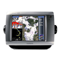
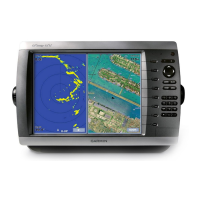
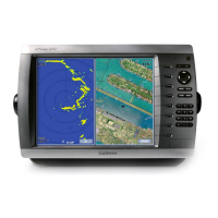
Do you have a question about the Garmin GPSMAP 4010 and is the answer not in the manual?
Display Size | 10.4 inches |
---|---|
Waterproof Rating | IPX7 |
Weight | 5.3 lbs (2.4 kg) |
Power Consumption | 25 W max at 12 Vdc |
Antenna | Internal |
Garmin Marine Network | Yes |
Voltage Range | 10-32 Vdc |
Map Compatibility | BlueChart g2, BlueChart g2 Vision |
Receiver | High-sensitivity GPS |
Waypoints/Routes | 5000 waypoints, 100 routes |
Display Type | Color LCD |
Networking | NMEA 2000, NMEA 0183 |
Built-in Maps | Yes |
Sonar Compatibility | Compatible with Garmin sonar modules |
Radar Compatibility | Yes |
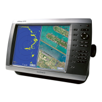
Identifies and describes the physical buttons and connectors on the chartplotter.
Instructions for powering up the chartplotter unit.
Instructions for safely powering down the chartplotter.
Guides the user through the first-time setup process for the chartplotter.
Explains how the device acquires satellite signals for location services.
Primary chart view for navigation, displaying map data and points of interest.
Core guide on using the chartplotter for marine navigation.
Setting and following planned routes using Go To, Route To, or Guide To.
Methods for searching and navigating to saved points, routes, or services.
Customizing route settings, turn transitions, and speed data sources.
Setting safe water depth, obstacle height, and shoreline distance for Auto Guidance.
Procedures for activating and deactivating the marine radar transmission.
Managing distress calls, navigating to vessels, and editing call reports.
Procedures for initiating and responding to man-overboard alerts.
Configuration and setup for NMEA communication protocols.