Do you have a question about the Garmin GPSMAP 4008 and is the answer not in the manual?
Provides quick methods for navigating the chartplotter and accessing features.
Explains how instructions and icons are used throughout the manual for clarity.
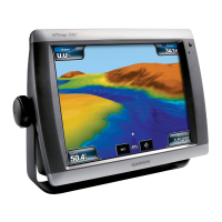
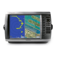
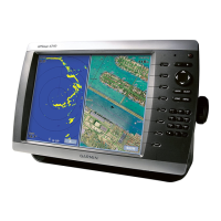
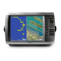
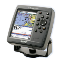
Identifies and describes the physical buttons, ports, and features on the device.
Instructions for powering the device on.
Guides through the first-time setup process for the chartplotter.
Details how to manually or automatically adjust screen brightness.
Primary map view for navigation, displaying data like buoys and depth.
Step-by-step guide to setting a course to a destination.
Sets how the map is oriented on the screen (North Up, Head Up, Course Up).
General overview of how to navigate using the device.
Guides on navigating directly to a destination.
Information on storing and managing specific locations.
Instructions for turning on and transmitting radar signals.
Describes the different operating modes for the radar display.
Enables identification and tracking of radar targets using MARPA.
Fine-tunes radar settings for optimal performance in various modes.
Describes the different sonar display options (full-screen, split-zoom, split-frequency).
Controls the sensitivity of the sonar receiver.
Sets alarms for shallow water, deep water, and water temperature.
Settings affecting how Auto Guidance plots the course.
Settings for system-wide alarms like clock and navigation alerts.
Manages data transfer and backup for the chartplotter.
Details features available when connecting chartplotter to VHF radio.
Alerts and records incoming DSC distress calls.
How MOB calls from chartplotter affect the radio and vice-versa.
Technical specifications for the device.
Procedure to calibrate the touchscreen if unresponsive.
Resets all user-entered settings to default.
Explains compatibility with NMEA 0183 and NMEA 2000 data.
| Display Resolution | 800 x 600 pixels |
|---|---|
| Waterproof Rating | IPX7 |
| GPS Receiver | High-sensitivity |
| Routes | 100 |
| Garmin Marine Network | Yes |
| Built-in basemap | Yes |
| NMEA input/output | Yes |
| Antenna | Internal |
| Map Coverage | Worldwide |
| Accepts Data Cards | Yes |
| Waypoints | 3000 |
| Tracks | 10, 000 points |
| Mounting Options | Flush mount or bracket mount |
| Display type | Color LCD |

