22 GPSMAP
®
4000/5000 Series Owner’s Manual
Where To?
Where
To?
4. Select Navigate To.
5. Select Go To.
OR
Select Guide To when using a preprogrammed BlueChart g2 Vision card to use Auto Guidance.
6. Follow the colored line on the screen to the destination.
To stop navigating:
From the Navigation chart, select Menu, and then select Stop Navigation.
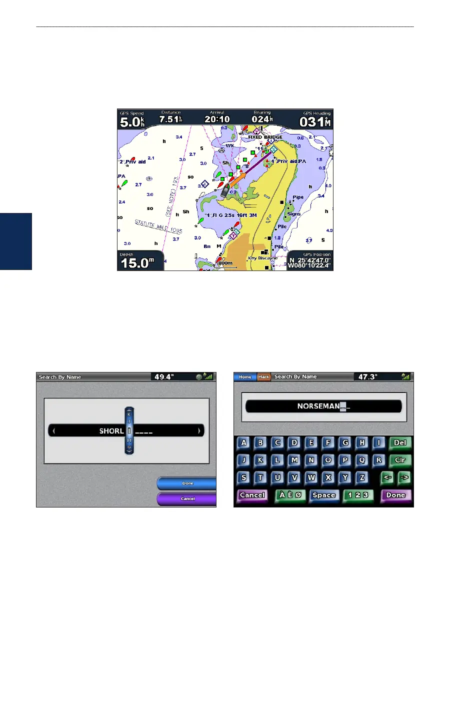
To search for a destination by name:
1. From the Home screen, select Where To? > Search by Name.
2. Use the ROCKER (GPSMAP 4000 series) or touch the onscreen keyboard (GPSMAP 5000
series) to select characters and spell at least a portion of the name of your destination.
Search - GPSMAP 4000 series Search - GPSMAP 5000 series
3. Select Done to view the 50 nearest destinations that contain your search criteria.
4. Select the best location, then select Navigate To > Go To or Route To (or Guide To when using
a preprogrammed BlueChart g2 Vision card).