EasyManua.ls Logo

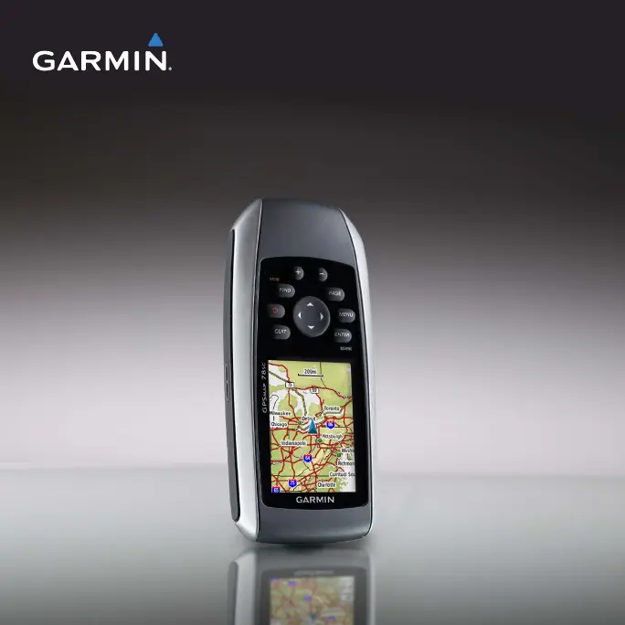
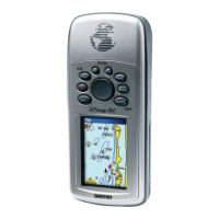
Garmin GPSMAP 78 series User Manual

Garmin GPSMAP 78 series
48 pages
To Next Page IconTo Next Page
Page #1 background imageLoading...
Page #1 background image
GPSMAP
®
78 series
owners manual
for use with the GPSMAP 78, GPSMAP
78S, and GPSMAP 78Sc

Other manuals for Garmin GPSMAP 78 series

Questions and Answers:

Garmin GPSMAP 78 series Specifications

General IconGeneral
Display Resolution160 x 240 pixels
Weight7.7 oz (218 g) with batteries
Battery Type2 AA batteries (not included); NiMH or Lithium recommended
Water RatingIPX7
High-Sensitivity ReceiverYes
InterfaceUSB
Built-in Memory1.7 GB
Waypoints2000
Routes200
Track Log10, 000 points, 200 saved tracks
Physical Dimensions2.6" x 6.0" x 1.2" (6.6 x 15.2 x 3.0 cm)
Memory ExpansionmicroSD™ card (not included)
Display Size2.6 inches
Battery Life20 hours
Display TypeTFT color
Battery RecommendationNiMH or Lithium
Preloaded MapsBasemap

Summary

Getting Started

Initial Setup and Device Familiarization

Covers manual conventions, device overview, buttons, battery installation, and powering on.

Navigating with Waypoints and Routes

Waypoint Management

Covers creating, editing, deleting, and navigating to waypoints.

Route Planning and Navigation

Instructions for creating, editing, and following routes on the device.

Map Data and Address Search

Information on additional maps and finding addresses using map data.

Track Log Recording and Navigation

Explains how to record, save, view, and navigate saved tracks.

Using the Main Pages

Map Display and Orientation

Customizing map views, orientation, and data fields.

Compass Functionality and Calibration

Explains compass use, calibration, and setup options.

Elevation Plot and Altimeter

Features for viewing elevation data and calibrating the altimeter.

Main Menu Features and Settings

Geocaching and Wireless Data Transfer

Guides on finding geocaches and using wireless sharing features.

Profile Management and Area Calculation

How to manage device profiles and measure areas.

Data Field Options Overview

Lists and describes available data fields for customization.

Customizing Your Device

System and Display Configuration

Adjusting system settings, display options, and tones.

Marine Settings and Alarms

Configuring marine charts, alarms, and related features.

Units, Time, and Position Format

Customizing units of measure, time, and position display formats.

Altimeter and Barometer Settings

Adjusting altimeter calibration and barometer modes.

Geocache and Routing Customization

Setting up geocache lists and route calculation preferences.

Fitness Accessories and Profile Management

Using fitness accessories and managing user profiles.

Appendix

Software Updates and Product Support

Guides on updating software and contacting Garmin support.

Device Specifications and Battery Life

Technical specifications and tips for maximizing battery life.

Data Management and File Transfer

Managing device data, file types, and transferring files via USB.

Device Care and Troubleshooting

Guidelines for cleaning, maintaining, and troubleshooting the device.

Related product manuals