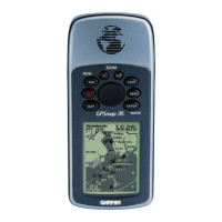
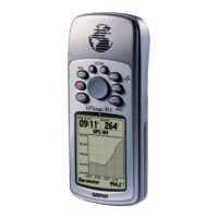
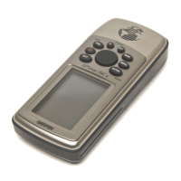
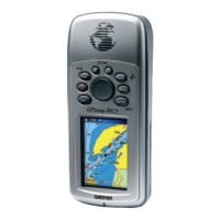
Do you have a question about the Garmin GPSMAP 76C and is the answer not in the manual?
General introduction to the manual and its sections.
Support contact information for assistance.
Legal terms for using the device software.
Regulatory compliance details for the device.
Important safety advice and operational cautions.
How to install and manage batteries.
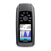
Explanation of the device's buttons and their uses.
Description of the physical ports and components.
Initial startup and satellite acquisition process.
Basic concepts of GPS navigation.
How to navigate between the main display pages.
Details on the status bar and on-screen icons.
The primary screen for map display and navigation.
Map controls like zoom and pan.
Customizing map display settings.
Configuring data fields on the map.
Selecting which data fields to show.
Setting up navigation prompts.
Referencing map setup.
Using the map pointer to measure distances.
Map clutter settings.
Resetting map settings.
Displaying direction and bearing.
Options for the compass display.
Tracking travel statistics.
Saving current location as a waypoint.
Creating, moving, and projecting waypoints.
Overview of search functions.
Locating saved waypoints.
Finding geocache locations.
Locating cities by name or proximity.
Finding nearby highway exits.
Finding marine data like tide stations.
Finding marine hazards.
Finding marine services.
Locating specific addresses.
Finding street intersections.
Locating landmarks and services.
Overview of the main menu features.
Recording and managing movement trails.
Saving recorded track data.
Creating and navigating routes.
Following an active route.
Customizing route calculation and guidance.
Visual route guidance.
Settings for geocaching.
Settings for maritime alarms.
Setting the device's time and date.
Selecting measurement units.
Accessing device settings.
Configuring system parameters.
Configuring compass display.
Customizing the startup message.
Screen appearance settings.
Connectivity settings.
Setting up proximity alarms.
Viewing day/date specific information.
Setting alarms.
Using the device as a calculator.
Timing functions.
Customizing map display.
Displaying astronomical data.
Hunting and fishing prediction times.
Overview of built-in games.
List of included and optional accessories.
Physical connection points.
Physical and performance details.
More specifications (DGPS, power).
Descriptions of displayable data fields.
How to connect to a PC.
Loading map data from CD-ROM.
Time zone offset values.
Datum and coordinate system settings.
Explanation of GPS augmentation systems.
Diagram of cable connections.
Alphabetical listing of topics.
Warranty terms and conditions.
| battery type | Two “AA” batteries |
|---|---|
| battery life | Up to 30 hours |
| temperature range | 5ºF to 158ºF (-15ºC to 70ºC) |
| display type | 256-color transflective TFT display |
|---|---|
| display resolution | 160 x 240 pixels |
| display size | 1.5"W x 2.2"H (3.8 x 5.6 cm) |
| size | 2.7"W x 6.2"H x 1.4"D (6.9 x 15.7 x 3.5 cm) |
|---|---|
| weight | 7.6 ounces with batteries |
| display size | 1.5"W x 2.2"H (3.8 x 5.6 cm) |
| battery type | Two “AA” batteries |
|---|---|
| battery life | Up to 20 hours |
| temperature range | 5ºF to 158ºF (-15ºC to 70ºC) |
| display type | 256-color transflective TFT display |
|---|---|
| display resolution | 160 x 240 pixels |
| display size | 1.5"W x 2.2"H (3.8 x 5.6 cm) |
| size | 2.7"W x 6.2"H x 1.4"D (6.9 x 15.7 x 3.5 cm) |
|---|---|
| weight | 7.6 ounces with batteries |
| display size | 1.5"W x 2.2"H (3.8 x 5.6 cm) |
