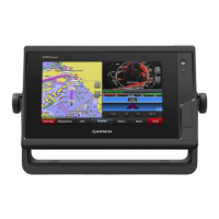
CVBS IN Composite video in
USB Micro-USB for compatible Garmin card reader
1
Ground screw
ETHERNET Garmin Marine Network
NMEA 2000 NMEA 2000 network
J1939 Engine or J1939 network
2 microSD memory card slots, 32 GB max.
Using the Touchscreen
• Tap the screen to select an item.
• Drag or swipe your finger across the screen to pan or scroll.
• Pinch two fingers together to zoom out.
• Spread two fingers apart to zoom in.
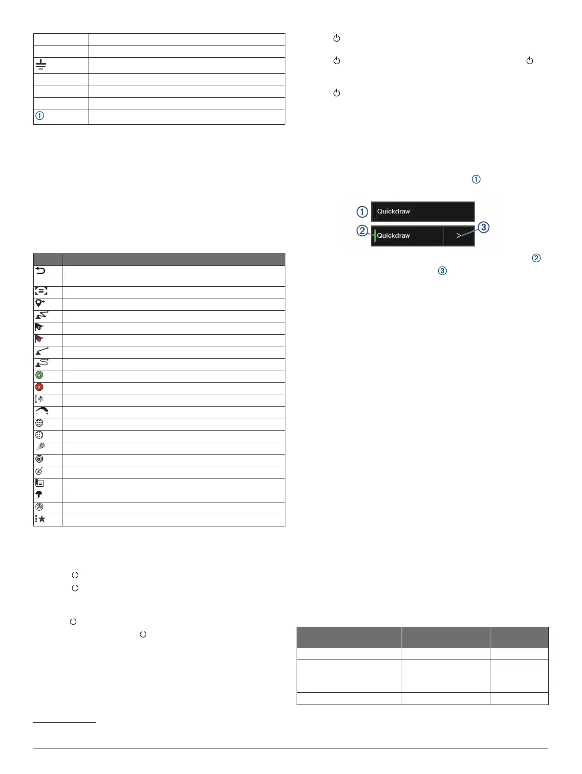
On-Screen Buttons
These on-screen buttons may be displayed on some screens
and functions. Some buttons are accessible only in a
combination page or SmartMode
™
layout or when accessories,
such as a radar, are connected.
Button Function
Clears the on-screen icons and re-centers the screen on the
boat
Opens a full-screen view of the item
Creates a new waypoint
Creates a route, with turns, to the destination
Adds a turn to the route at the selected location
Removes the last added turn from the route
Creates a direct route, without turns, to the destination
Creates an Auto Guidance route to the destination
Begins navigation
Ends navigation
Stops and starts radar transmission
Opens the radar gain adjustment menu
Opens the radar sea clutter adjustment menu
Opens the radar rain clutter adjustment menu
Turns on and off the radar echo trails
Acquires a radar target and begins tracking it
Shows and sets the VRM/EBL line
Opens the menu for the page or function
Opens the Weather menu for the page or function
Opens the Radar menu for the page or function
Opens the Presets menu for the page or function
Locking and Unlocking the Touchscreen
You can lock the touchscreen to prevent inadvertent screen
touches.
1
Select > Lock Touchscreen to lock the screen.
2
Select to unlock the screen.
Tips and Shortcuts (MFD models)
• Press to turn on the chartplotter.
• From any screen, press repeatedly to scroll through the
brightness levels, if available. This can be helpful when the
brightness is so low you cannot see the screen.
• Select Home from any screen to return to the Home screen.
• Select Menu to open additional settings about that screen.
• Select Menu to close the menu when finished.
1
Only compatible Garmin card readers recommended. Third-party card readers
are not guaranteed to be fully compatible.
• Press to open additional options, such as locking the
touchscreen.
• Press , and select Power > Turn Off System, or hold
until the Turn Off System bar fills to turn off the chartplotter,
when available.
• Press , and select Power > Sleep Station to set the
chartplotter to standby mode, when available.
• On the home screen of some models, swipe up or down on
the category buttons along the right side of the screen to view
the additional buttons.
On some models, not all category buttons are visible. The
arrows at the top or bottom of the buttons indicate not all
buttons are visible.
• On some menu buttons, select the button to enable the
option.
A green light on an option indicates the option is enabled .
• When available, select the arrow to open the menu.
Accessing Owner's Manuals on the
Chartplotter
1
Select Info > Owner's Manual.
2
Select a manual.
3
Select Open.
Downloading the Manuals from the Web
You can get the latest owner's manual and translations of
manuals from the Garmin website. The owner's manual includes
instructions for using device features and accessing regulatory
information.
1
Go to garmin.com/manuals/GPSMAPPlus.
2
Download the manual.
Garmin Support Center
Go to support.garmin.com for help and information, such as
product manuals, frequently asked questions, videos, software
updates, and customer support.
Memory Cards
You can use optional memory cards with the chartplotter. Map
cards allow you to view high-resolution satellite imagery and
aerial reference photos of ports, harbors, marinas, and other
points of interest. You can use blank memory cards to record
Garmin Quickdraw
™
Contours mapping, record sonar (with a
compatible transducer), transfer data such as waypoints and
routes to another compatible chartplotter or a computer, and use
the ActiveCaptain
®
app.
This device supports up to a 32 GB memory card, formatted to
FAT32 with speed class 4 or higher. Use of an 8 GB or higher
memory card with speed class 10 is recommended.
Model Memory Card Location Memory Card
Type
GPSMAP 7x2/7x2 Plus Front of the device microSD
GPSMAP 9x2/9x2 Plus Front of the device microSD
GPSMAP 12x2
Touch/A12/12x2 Plus
Front of the device SD
GPSMAP 7x3/9x3/12x3 Back of the device microSD
2 Introduction