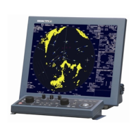
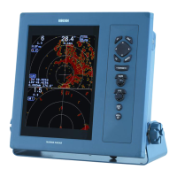
MDC-2200/2500 Series Chapter 4 Menu operations
0093125002-05 4-39
(16) Detail chart display setting
Change chart color (Daytime mode/Night mode)
Display place name
Display lighthouse
Display buoy
Display fish haven/wreck
Display traffic routes
Display caution area
Display fishery
Display cable
are to be set.
(17) Accommodate radar image and chart display (position compensation)
As this device is set for geographic coordinate system WGS84, latitude/longitude data from the device
based on other system being used may cause inconsistency between radar image and chart display.
Position compensation function is used to accommodate chart display to radar image.
Manual and serial signal (position compensation information: DTM sentence) methods are available for
position compensation.
When manual method is selected. Input correction value by using (18) Correct latitude, (19) Correct
longitude.
(18) Correct latitude
Correct latitude of chart display. Correction range is -1.000° to 1.000°.
(19) Correct longitude
Correct longitude of chart display. Correction range is -1.000° to 1.000°.
Position compensation setting becomes easier when display mode is N UP.
(20) Display Waypoint/Route ID
ID can be displayed to waypoint/route in the radar screen.
ID is input by navigation device as waypoint/route data.
(21) Display flag mark on waypoint
As waypoint is displayed by mark, it can be displayed also by flag mark to ease to be distinguished.