Selecting the Map Datum
When using the eXplorist in conjunction with a map or chart, you should make sure that the
map datum in the eXplorist matches the map datum that the map or chart uses. This can
usually be found in the legend block on the map or chart. The default map datum for the
eXplorist is WGS84 and should be used when in doubt.
1. Press MENU.
2. Use the Arrow joystick to highlight Preferences.
3. Press ENTER.
4. Use the Arrow joystick to highlight Map Units.
5. Press ENTER.
6. Use the Arrow joystick to highlight the data field for Map
Datum.
7. Press ENTER.
8. Use the Arrow joystick to highlight the desired map datum.
9. Press ENTER.
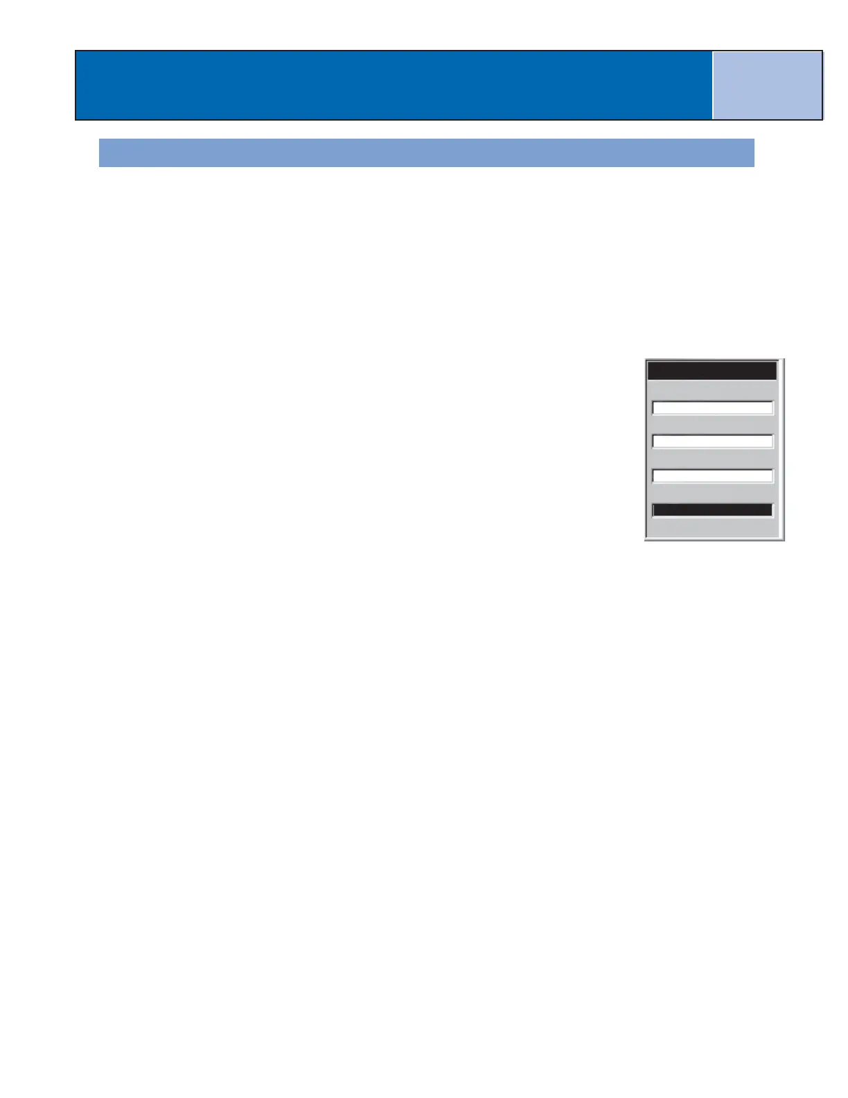
The
Map Units
screen is displayed with the new Map Datum shown. You can change other
settings or press ESC to return to the
Preferences
menu.
Preferences
71

 Loading...