Magellan MAP 410 GPS Receiver 29
Working with Waypoints (WPTs)
Waypoints and landmarks are positions that are saved in your receiver’s
memory and used to create routes. For purposes of this manual, the term
waypoint is used since the default setting of your MAP 410 is marine. This
section tells you how to create, save, edit, delete, project, sort and find
waypoints. You can store up to 500 waypoints which are used to create
routes for navigation.
THE WAYPOINT MENU
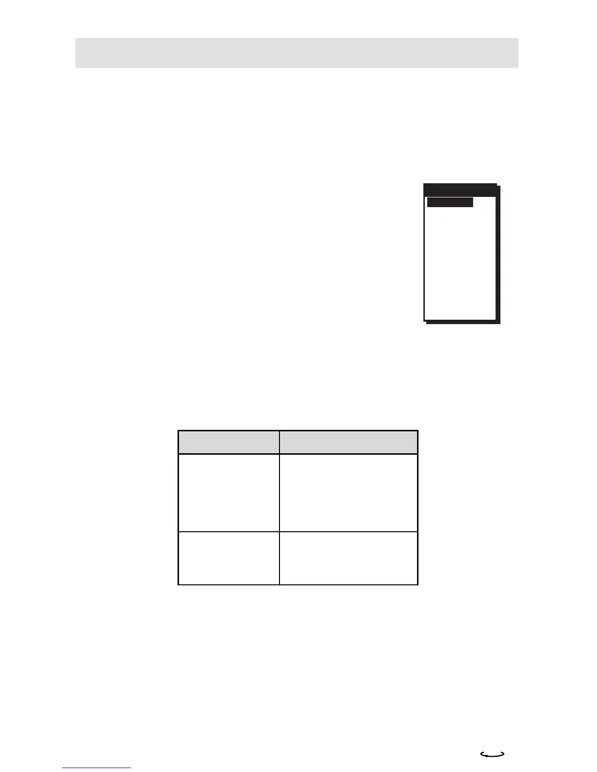
The Waypoint Menu lists the available categories of
waypoints that you can choose from when navigating using
your MAP 410.
SELECTING A WAYPOINT CATEGORY
Your MAP 410 allows you to find and retrieve information on all waypoints
stored in memory. You also have the ability to create, edit and delete
waypoints you have stored in your receiver. There are two categories of
waypoints; User and Non-User. Following are descriptions of both these
categories as well as a chart that shows the functions of each.
User Waypoints
User waypoints are locations that you save in your receiver’s memory,
including their coordinates and an icon you associate with them. These
waypoints are editable by you and can be deleted when no longer needed.
WPT Types
Available Functions
User
Non-User
• Create
• Edit
• Delete
• Project
• Sort
• Find
• Project
• Sort
WAYPOINTS
USER
AIRPORTS
RAIL STOPS
WATER PORTS
SIGHT SEEING
HISTORIC
MUSEUMS
PARKS/GARDEN
AMUSEMENT
GOLF COURSES
SPORTS ARENAS
 Loading...
