18
Riding with TR7
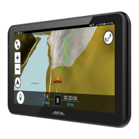
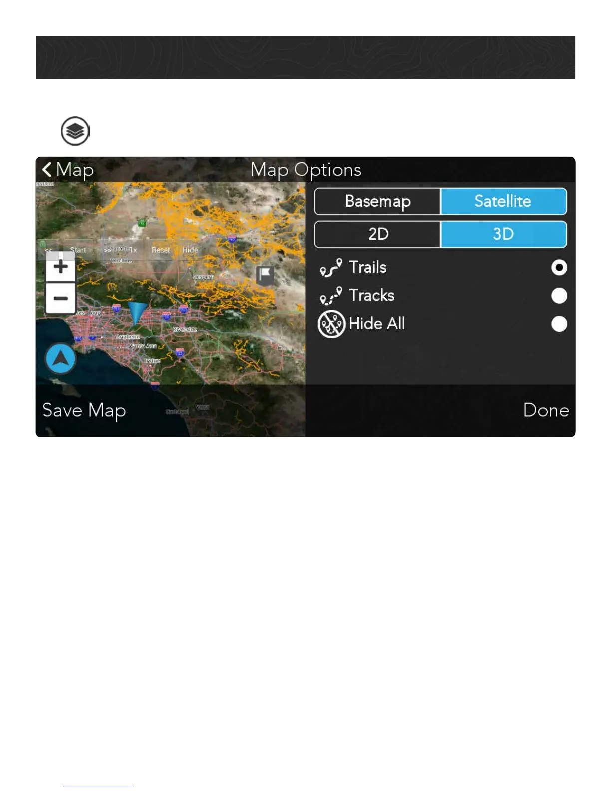
Change Map Options
Tap
to customize your map view:
• Tap Basemap for the default topo map view, and tap Satellite for satellite map
imagery from DigitalGlobe.*
• Tap 2D for a 2D map view, and tap 3D for a 3D map view.
• Tap Trails to view authorized OHV trail data (solid orange lines) on the map view.
• Tap Tracks to view user-generated Tracks (dashed orange lines) on the map view.
• Tap Hide All to hide map content from the map view.
• Tap Save Map to save satellite imagery from the current map view to your device for
use when you’re out on the trail.*
• Tap Done to return to the Map screen.
*You must have a DigitalGlobe subscription before you can access satellite imagery on your TR7. Satellite Imagery
is intended to be downloaded before use on the trail. Downloading Satellite Imagery requires a strong and reliable
WiFi connection to download large imagery files. Refer to Using Satellite Imagery for instructions on subscribing to
DigitalGlobe on your TR7 as well as viewing and saving satellite imagery.