WayPoint
A WayPoint is similar to a FindPoint with the
exception that no detector or target related
information is stored. The WayPoint is used to
record a point of interest or location to which
you may choose to return in the future. When you store a
WayPoint the GPZ 7000 saves the following information:
• Location
• Time and date
You can also create a WayPoint as a navigation point
on Google Maps using the XChange 2 PC application
(page 47).
GeoTrail
Your position information is recorded every second and
is represented on the Map by a series of dots that form a
GeoTrail. This trail will be either red, blue, or grey:
• If a GeoTrail is being recorded as part of a GeoHunt, the
trail will be red.
• If you have paused or are not recording a GeoHunt, the
trail will be blue. The Blue trail shows your movements
for reference purposes and can be cleared from the
map using the Clear GeoTrail function (page 38).
• If the GeoTrail represents a saved GeoHunt, it will be
grey.
GeoHunts
When the GeoHunt function is active, the GPZ 7000
stores your position information while you are detecting.
It allows you to see a map view of the ground you have
covered, and records the location, time and detector
settings used. FindPoints and WayPoints stored while
a GeoHunt is active are displayed and stored with the
GeoHunt.
When you activate the GeoHunt function, the GPZ 7000
stores the following information:
• Periodic location (GeoTrail)
• Time
• Detector settings and coil model
• FindPoints and WayPoints
Saved GeoHunts can be viewed on the Map using the
GeoTrails function (page 41).
You can upload your GeoHunts to your PC and view
them on Google Maps using the XChange 2 application
(page 47).
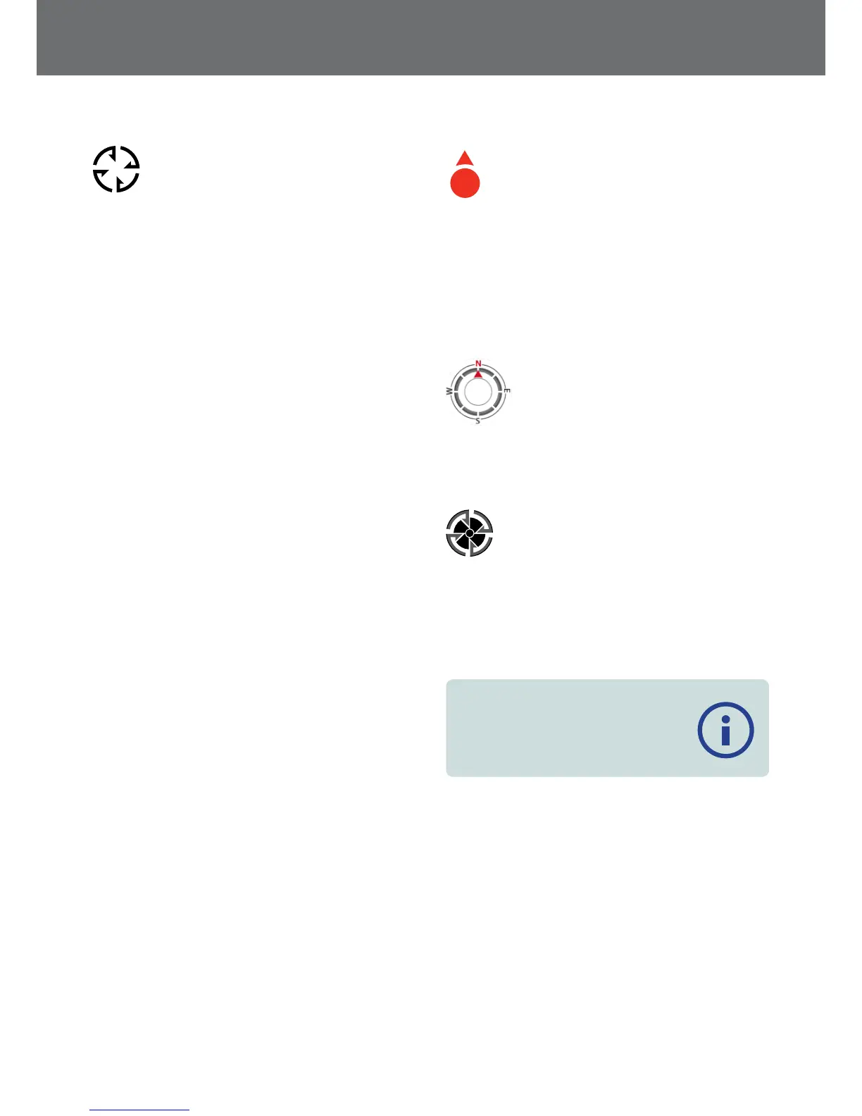
North Marker
N
The North Marker is displayed at the top right of
the screen. It indicates a fixed northerly direction
in relation to the detecting trail.
Coordinates
Latitude/Longitude information for the target is optionally
displayed at the bottom right of the Map. The format of
the display can be configured via the Preferences page
(page 30).
Navigation Tool
The Navigation Tool allows you to navigate
to a WayPoint, FindPoint or the start or end
point of a GeoHunt. The Navigation Tool will
help you navigate by displaying the
distance and direction to your destination.
To navigate to a Waypoint or FindPoint, or the start/end of
a GeoHunt, select an object to be navigated to, from the
GeoStore. A Destination icon will appear on the Map.
The Destination icon
The Destination Icon will remain on the Map until you do
one of the following:
• Go to Start/Go to End of a new destination
• Delete the GeoStore item it represented
• Restart the detector
NOTE
If the Navigation tool is turned Off when
you select an object to be navigated to,
it will be automatically turned On.
Map
37
 Loading...