N
O
D
E
C
O
M
C
Z
.
.
1
0
F
T
S
T
O
P
2
0
F
T
3
0
4
0
1994
®
©
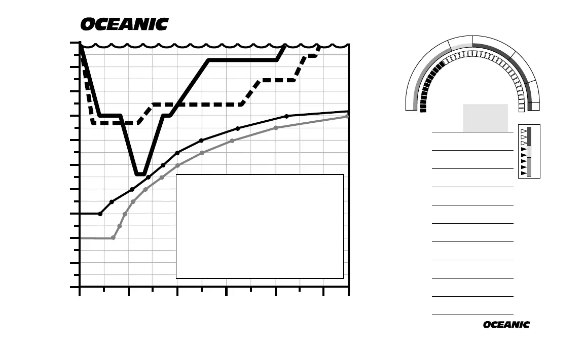
DiveLog Instructions
100 ft.
120 ft.
140 ft.
80 ft.
60 ft.
40 ft.
20 ft.
0 ft.
160 ft.
10
MINUTES
20 30 40 500
180 ft.
200 ft.
DIVELOG INSTRUCTIONS:
Make photocopies of following page. Put in small
binder to make log book. Then...
1. Plot PDPS as dots connected by lines. (unless
1st dive in 24 hours already shown in grey)
2. Sketch dive plan with dotted line.
3. Draw actual dive profile using solid line.
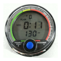
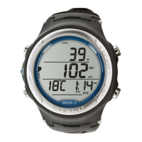
4. Fill-in Dive Log readings on DataMax Pro
display (as shown).
TODAY CUMULATIVE
Dive No.
Dive Site
Location
Date
Visibility
Purpose
Max Depth
Bottom Time
Rate Dive Site
Buddy
Buddy Cert. #
Your Buddy’s #
Your Buddy’s Name
A
S
C
E
N
T
Dive Site Name
284
City, State or Country
Today’s Date
Vis in feet or meters
From Dive Log Mode
Your Personal Rating Scale
From Dive Log Mode
Why you’re there
®