EasyManuals Logo

TomTom GO Basic User Manual

TomTom GO Basic
105 pages
To Next Page IconTo Next Page
To Previous Page IconTo Previous Page
Page #50 background imageLoading...
Page #50 background image
50
Drive to Route or
Track
Select Drive to Route to plan a route from your current location to the
starting point of a My Route. The starting point is converted to a stop.
Drive to Track plans a route to the nearest point of the track from your
current position.
Drive to Starting
Point
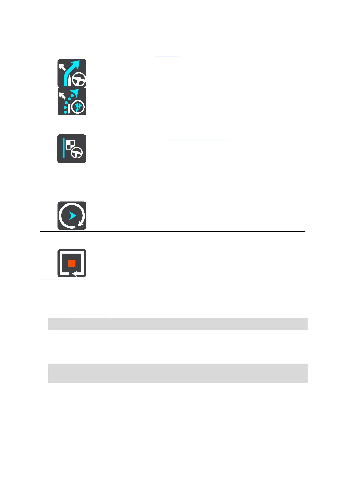
On the Current Track menu, select this button to plan a route to the
starting point of the track. The starting point is converted to a stop. For
more information, see Navigating using a track.
Share Track
On the Current Track menu, select this button to export the current track
as a GPX file and save it on a memory card for sharing with other users.
Play Route or
Track Preview
Select this button to watch a preview of your planned route or track.
Stop Route or
Track Preview
Select this button to stop the preview of your planned route or track.
Avoiding a blocked road
If there is a blocked road on your route you can change your route to avoid it.
1. In the guidance view, select the current location symbol or the speed panel.
Tip: The speed panel is only shown when you have started driving on your route.
2. Select Avoid Blocked Road.
A new route is found that avoids the blocked road. You may get shown up to two alternatives
depending on the road network between you and your destination.
The new route is shown on the map view with the difference in travel time in a balloon.
Note: It may not be possible to find an alternative route around the blocked road if none
exists.
3. Select the new route by selecting the time balloon.
Guidance to your destination resumes avoiding the blocked road. As soon as you start driving,
the guidance view is shown automatically.
Avoiding part of a route
If part of a road is blocked or you wish to avoid part of a route, you can select a specific section of
a route to avoid.

Table of Contents

Other manuals for TomTom GO Basic

Questions and Answers:

Question and Answer IconNeed help?

Do you have a question about the TomTom GO Basic and is the answer not in the manual?

TomTom GO Basic Specifications

General IconGeneral
Display diagonal5 \
Display resolution480 x 272 pixels
Spoken languages- Afrikaans - Arabic - Australian English - Bulgarian - Catalan - Croatian - Czech - Danish - Dutch - Dutch Belgium - Finnish - French - German - Greek - Hungarian - Irish English - Italian - Lithuanian - New Zealand English - Norwegian - Polish - Portuguese - Portuguese Brazil - Serbian - Slovenian - Spanish - Spanish (Latin American) - Spanish Argentina/Latin - Spanish Chile - Swedish - Turkish - UK English - US English
Languages supportBUL, CZE, DAN, DEU, DUT, ENG, ESP, EST, FIN, FRE, GRE, HUN, ITA, LAT, NOR, POL, POR, SWE, TUR
Spoken street namesKeep your eyes on the road while your GPS announces turn-by-turn directions, including street and place names.
Traffic Message Channel (TMC)-
Cables includedUSB
Marine (chartplotters, sounders)No
Map coverageAll Europe
Lifetime map updatesRoads change, but with Lifetime Map Updates your map will always be up to date. Start fresh every few months by downloading a new edition of the industry's most accurate map. New editions are issued four times per year.
Number of countries covered45
Storage media typeFlash
Compatible memory cardsMicroSD (TransFlash)
Maximum memory card size32 GB
Internal storage capacity16 GB
Form factorFixed
Product colorBlack
Power source typeBattery, Cigar lighter
Battery life (max)1 h
Weight and Dimensions IconWeight and Dimensions
Depth18.85 mm
Width141.96 mm
Height90.6 mm
Weight201 g

Related product manuals