64
Note: If you want to report a map change of a type not shown in the menu, use the Map Share
Reporter at tomtom.com.
7. Follow the instructions for your chosen type of map change.
8. Select Report.
The marker for the marked location is removed from the map.
9. Connect your TomTom GO to MyDrive Connect to send your map change report to TomTom and
receive map changes from other TomTom users.
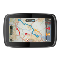
Types of map change
There are several types of map change available.
Note: If you want to report a map change of a type not described below, use the Map Share
Reporter at tomtom.com.
For all map changes described below, you need to connect your TomTom GO to MyDrive Connect to
send your map changes report to TomTom and receive map changes from other TomTom users.
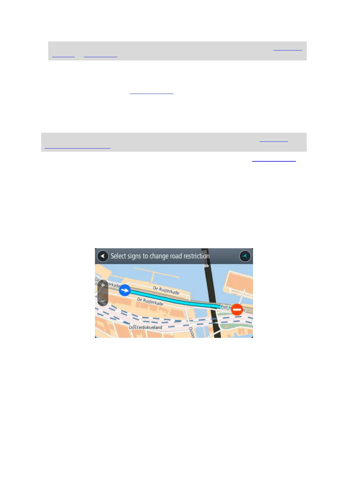
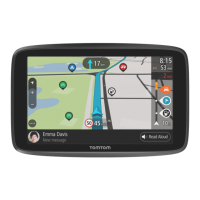
Road Restriction
Select this option to block or unblock a road. You can block or unblock the road in one or both
directions by doing the following:
1. Press and hold to select the location of the map change on the map view.
2. Select the pop-up menu button to open the menu.
3. Select Report Map Change from the pop-up menu.
4. Select Road Restriction.
Select the road sign at either end of the road to change it from open to closed or vice versa.
5. Select Report.
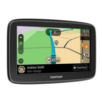
Street Name
Select this option to correct an incorrect street name.
1. Press and hold to select the location of the map change on the map view.
2. Select the pop-up menu button to open the menu.
3. Select Report Map Change from the pop-up menu.
4. Select Street Name.
5. Enter the correct street name.
6. Select Report.