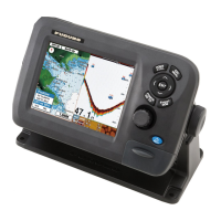
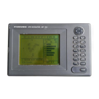
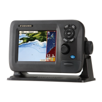
1. OPERATIONAL OVERVIEW
1-7
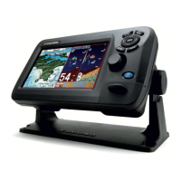
2D plotter display, vector chart
A vector chart is a series of points and lines that make up the features on a chart. Vec-
tor charts look computer generated. Details on the chart can be turned on and off. Ob-
jects on the chart can be clicked on to learn more details. Depths can be monitored to
warn before grounding. When zooming in and out of a vector chart only the geograph-
ical features grow larger or smaller where text keeps it's same size and orientation.
Vector charts lack most topographical features.
*Position fix state indications
GPS 2D: 2D position fix
GPS 3D: 3D position fix
GPSW2D: WAAS 2D position fix
GPSW3D: WAAS 3D position fix
NO FIX: No position data
SIM: Simulator mode
Position fix state*
Display width
Cursor
(inactive, red)
Headingline
(red dashed line)
COG line
(black)
L/L grid
Track
(default color
is red)
Orientation mode (North Up, Course Up,
Auto Course Up, Heading Up)
Alarm icon
MOB
mark
GPS 3D
Own ship
marker (black)
Compass
MOB
180°T
14.2 NM
MOB box
(Bearing and range to MOB position)
20 NM
 Loading...