142
Customize the Chart View
Customize the Chart Detail Level
Use the following instructions to add or hide chart details and navaids on the Chart View and the Bird’s Eye View.
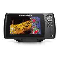
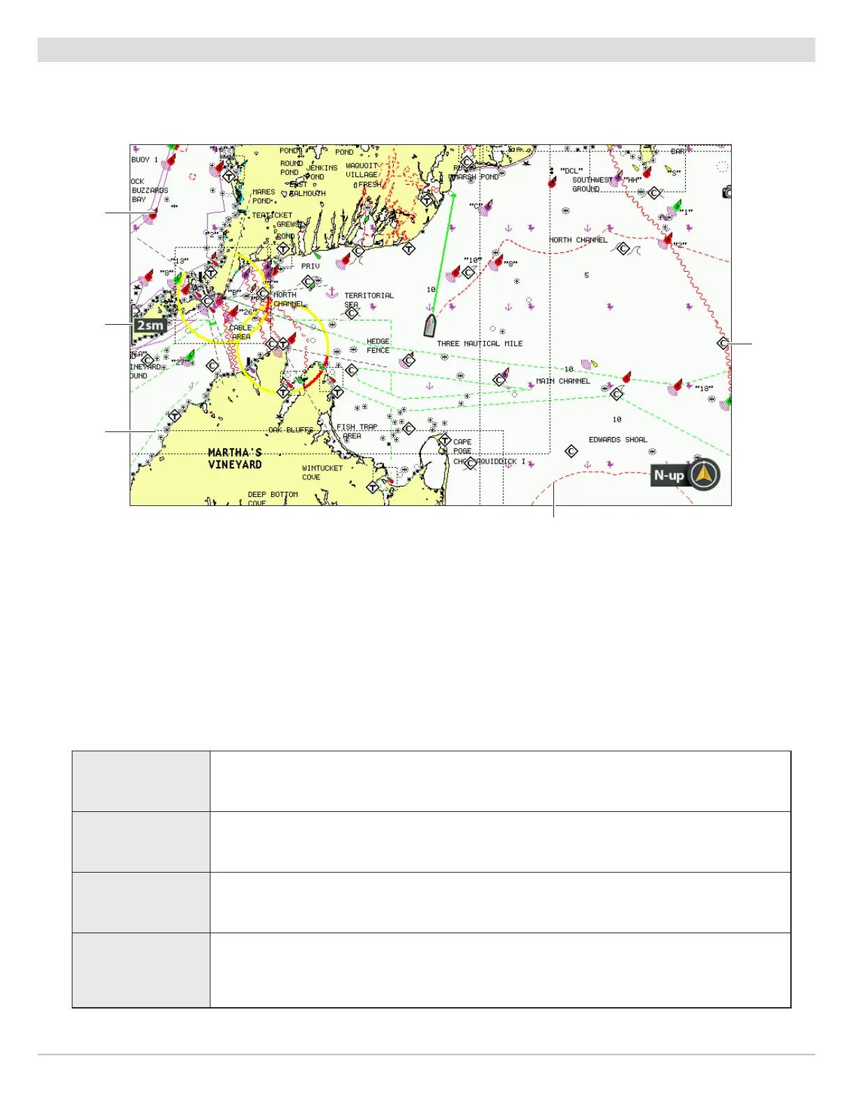
map scale
navaid
map border
(dotted
black line)
restricted area
(dashed red lines)
Navionics Chart Displayed with Chart Detail set to Navigation
chart info
Select a Chart Detail Level
Chart Detail Level allows you to add details and layers to the chart views. The available settings are determined by the installed
map card and selected map source.
1. Main Menu: Press the MENU key twice. Select the Chart tab.
2. Select Chart Detail Level.
3. Press the RIGHT or LEFT Cursor keys to select one of the following:
Basic
shows land areas, ports, obstructions, and restricted areas
Navigation
In addition to the Basic level, Navigation shows navaids, landmarks, ferryways, and navigation
routes.
Underwater
In addition to the Basic and Navigation information, Underwater shows depth contours, fishing
areas, underwater wrecks, tides, and currents.
Custom
(Custom User
Mode)
Select Custom to select specific chart detail layers. You can show or hide chart layers such
as navigation canals, boundaries, restricted areas, coastline, bridges, and more. See Select
Custom Chart Layers.
 Loading...