213
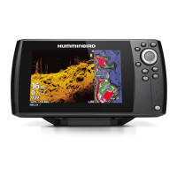
AutoChart Live
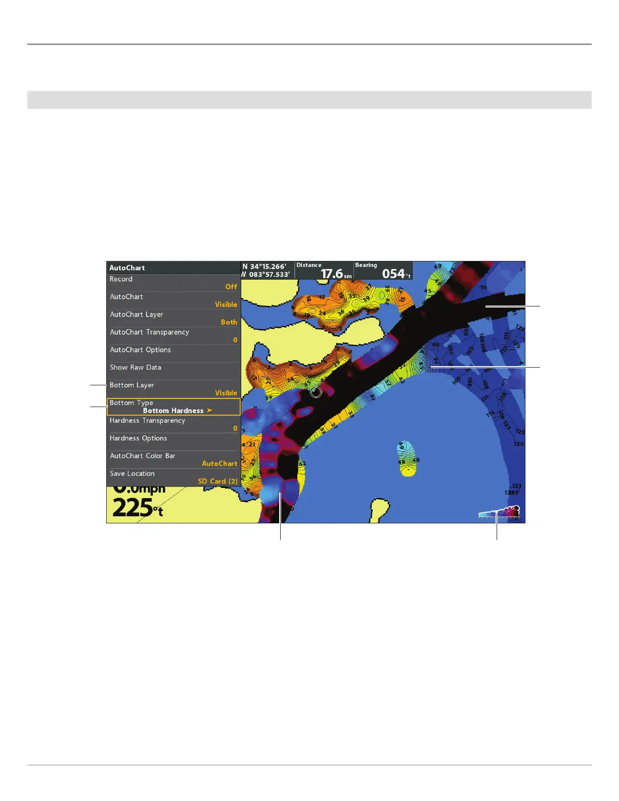
C B H D S
The Bottom Layer is displayed on top of the AutoChart Live map and can be displayed as bottom hardness or vegetation. Bottom
Hardness shows strong sonar returns resulting from compacted sediment, rocks, fallen trees, etc.
Show/Hide Bottom Hardness
Show Bottom Hardness
1. From the AutoChart menu, select Bottom Layer.
2.
Select
Visible
(LakeMaster) or press the CHECK/INFO key or the RIGHT Cursor key to add a check mark (CoastMaster)
.
3. Select Bottom Type.
4. Select Bottom Hardness.
AutoChart
Live Map
layer
hardness scale
(AutoChart Color Bar)
bottom
layer set
to Visible
bottom type
Displaying the Bottom Hardness Layer (Map Source: Humminbird LakeMaster)
bottom
hardness
layer
bottom
hardness layer
Hide Bottom Hardness
1. From the AutoChart menu, select Bottom Layer.
2. Select Hidden
(LakeMaster) or press the CHECK/INFO key or the RIGHT Cursor key to remove the check mark (CoastMaster)
.
 Loading...