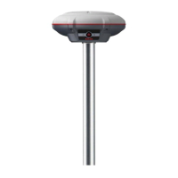
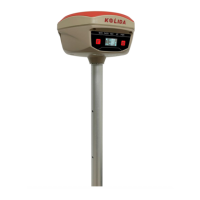
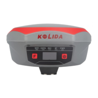
K3 IMU
ChapterⅠ Preface
In this chapter you will have a brief knowledge of KOLIDA Company and K3 IMU
measurement system.
§1.1 Introduction
Welcome to KOLIDA Instruments Co., Ltd, which is China’s leading manufacturer of surveying
equipment including GNSS receivers and Total Stations, etc. To know more about KOLIDA,
please visit our official website
http://www.kolidainstrument.com/.
In the guide, we'll show you how to operate the K3 IMU RTK system as well as the accessories.
We recommend you to read the guide carefully before getting started.
§1.2 Applications
Control Survey: static measurements can accurately complete the high-precision deformation
observation, photo-control point measurement.
Highway Survey: quickly complete the encryption of the control points, road topographic
mapping, cross-section measurement, profile measurement with K-survey.
CORS Application: provide more stable and convenient data link for field operations. It is
seamlessly compatible with all types of domestic CORS applications.
Data acquisition measurement: perfect match KOLIDA’s various measurement software to do
quick and easy data acquisition.
Stakeout shot: large-scale point, line, plane lofting.
Electric Power Measurement: power line measurement orientation, ranging, angle calculation.
Marine application: oceanographic research, dredging, piling, inserted row, making the marine
operations convenient and easy.