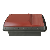
Cable layout
87
857-164688 / E
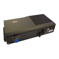
6.3 External interfaces
Overview
• Navigation (GPS) interface (NMEA)
• Annotation text input (NMEA)
• Depth telegram output (NMEA)
• Heave sensor input
Navigation (GPS)
GPS (Global Positioning System) receivers output NMEA 0183
telegrams containing geographical latitude and longitude. The
defined communication parameters are:
• 4800 bits per second
• 8 data bits
• no parity
• one stop bit
Most navigation receivers also allow different parameters to be
entered.
Connect the navigation receiver to a free RS-232 port. Only the
signal (Rx, pin 2) and ground wires (pin 5) need to be
connected. Connect only the signal wire (Tx, pin 3) and the
ground wire (pin 5) to the GPS system’s output. Maximum
cable length is approximately 50 meters.
The connection must be established in the software as well.
Observe the following procedure:
1 Open the Navigation Interface dialogue box.
2 Enter the name of the selected RS-232 port and the
communication parameters.
Depth output
The current depth from a defined transceiver channel can be
sent out on a chosen serial line. One or more of the following
serial lines can be used:
• Heave Sensor
• Navigation Interface
The dialogue boxes used to control these interfaces also include
a button to open the Depth Output dialogue box. From this
dialogue, you can select from three different types of NMEA
depth telegrams.
 Loading...