Other Special Situations
There are additional rules to remember
when operating your boat around other ves-
sels, such as:
• When navigating in narrow channels, you
should keep to the right when it is safe and
practical to do so.
• When preparing to go around a bend that
may obstruct your view of other water
vessels, you should sound a prolonged blast
on the horn or with a whistle for four (4)
to six (6) seconds. Even if no reply is heard,
you should still proceed around the bend
with caution.
Sailing Vessel Right-of-Way
Sailing vessels should normally be given
the right-of-way. The exceptions to this are:
• When the sailing vessel is overtaking the
power-driven vessel, the power-driven ves
-
sel has the right-of-way.
• Sailing vessels should keep clear of any sh
-
ing vessel.
• In a narrow channel, a sailing vessel should not hamper the safe
passage of a power-driven vessel that can navigate only in such a
channel.
Fishing Vessel Right-of-Way
Under international rules, all vessels that are shing with nets,
lines or trawls are considered to be shing vessels; however, boats
with trolling lines are not considered shing vessels.
Fishing vessels have the right of way, regardless of position, but
these vessels cannot impede the passage of other vessels in narrow
channels.
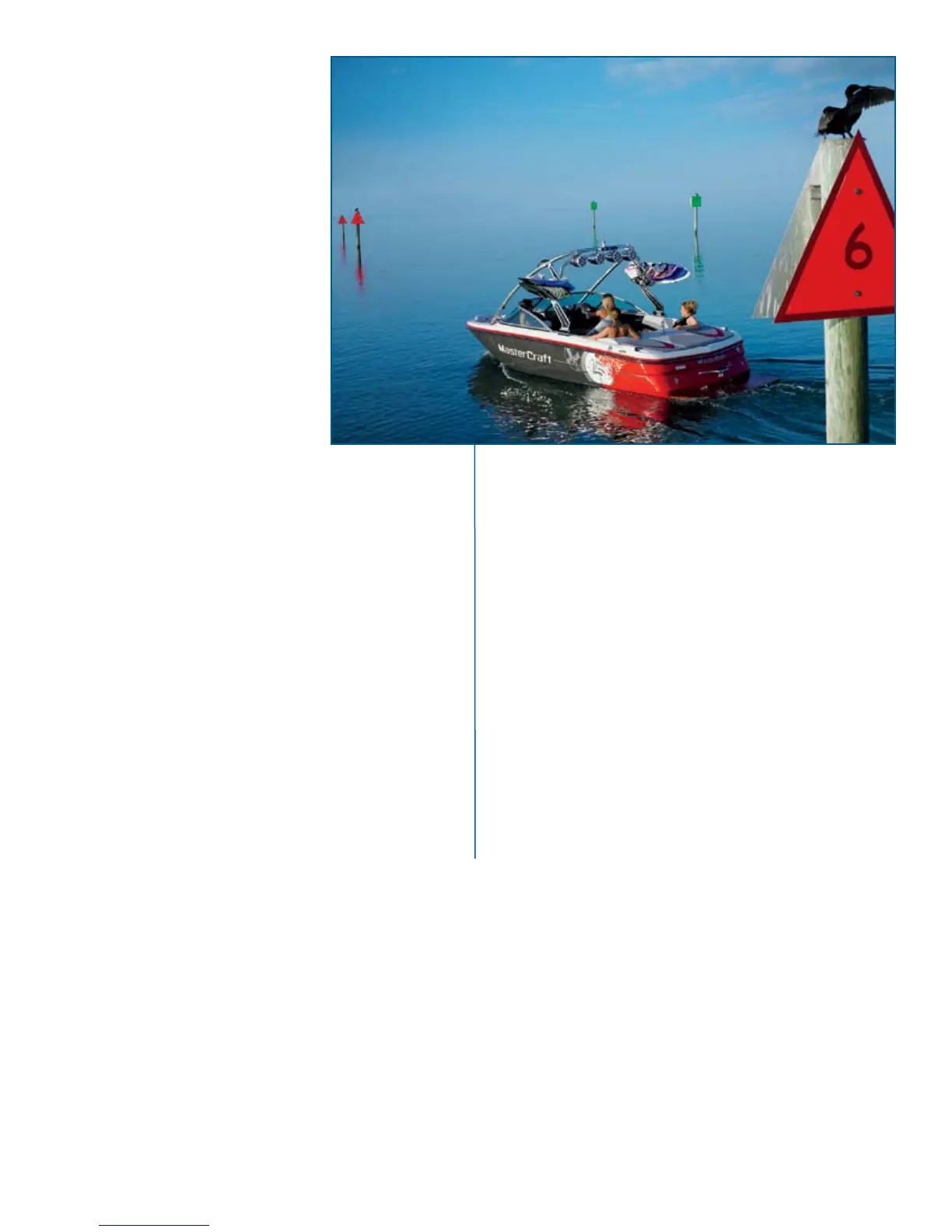
Reading Buoys and Other Markings
The waters of the United States are marked for safe navigation by
the lateral system of buoyage. The markers and buoys you encounter
will have an arrangement of shapes, colors, numbers and lights to show
which side of the buoy a boater should pass when navigating in a par-
ticular direction.
The markings on these buoys are oriented from the perspective
of being entered from a seaward direction while the boater is go-
ing toward the port. Red buoys are passed on the starboard (right)
side when proceeding from open water into port, and green buoys
are passed on the port (left) side. When navigating out of port, your
position to the buoys should be reversed: red buoys to port (left)
and green buoys to starboard (right).
Many bodies of water are entirely within the boundaries of a single
state. The Uniform State Waterway Marking Systems have been devised
for these waters. This system uses buoys and signs with distinctive
shapes and colors to show regulatory or advisory information. These
markers are white with black letters and orange borders. The informa
-
tion signies speed zones, restricted areas, danger areas and general
information.
Remember: Markings may vary by geographic location. Al-
ways consult appropriate boating authorities before boating in
unfamiliar waters.
mastercraft 2010 ow n e r ’s m anual • page 3-2
 Loading...