RD1000™ Operation Manual 19
Figure 3.11:
estimating target
depth
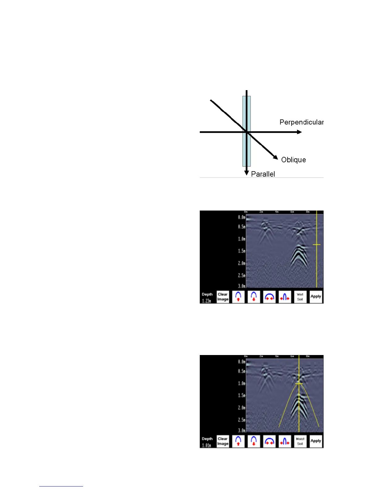
Cross long, linear targets like pipes or cables at a 90 degree
angle to produce a target arch suitable for the soil type calibration.
The depth estimation of a target will be incorrect if the soil type
calibration is done on a target arch produced at an oblique angle
(smaller that 90 degrees).
To determine the Soil Type using a Target Arch:
With a target arch visible
on the image, back the
cart up until the Position
Indicator is centered on
the target arch in the GPR
image; preferably one with
long tails because this
provides the most accurate
soil type calibration.
1.
As you slow down and
stop, the Indicator Arch will
appear on the data image.
2.
Figure 3.12: position
indicator
Figure 3.13: indicator arch