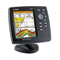
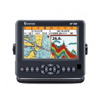
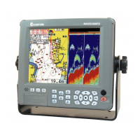
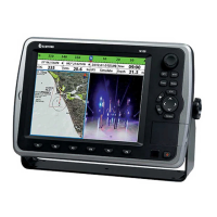
The chart plotter is a precision-crafted GPS
chart Plotter with high-performance receiver
for the Global Positioning System
constellation of satellites, providing precise
location data with a host of navigation
features. Some functions require optional
units and sensors installed on your boat.
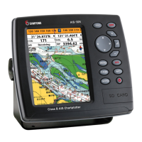
The chart plotter can be connected to
external devices with NMEA0183 and
NMEA2000 interface and display information.
Following are the examples.
• NAVTEX
• AIS receiver
• DSC VHF radio
• Transducer & sensors
• Autopilot
 Loading...