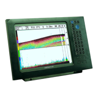
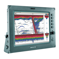
Chapter 8-2 EQ44/54 PILOT menu
ENT
Return to Highway display
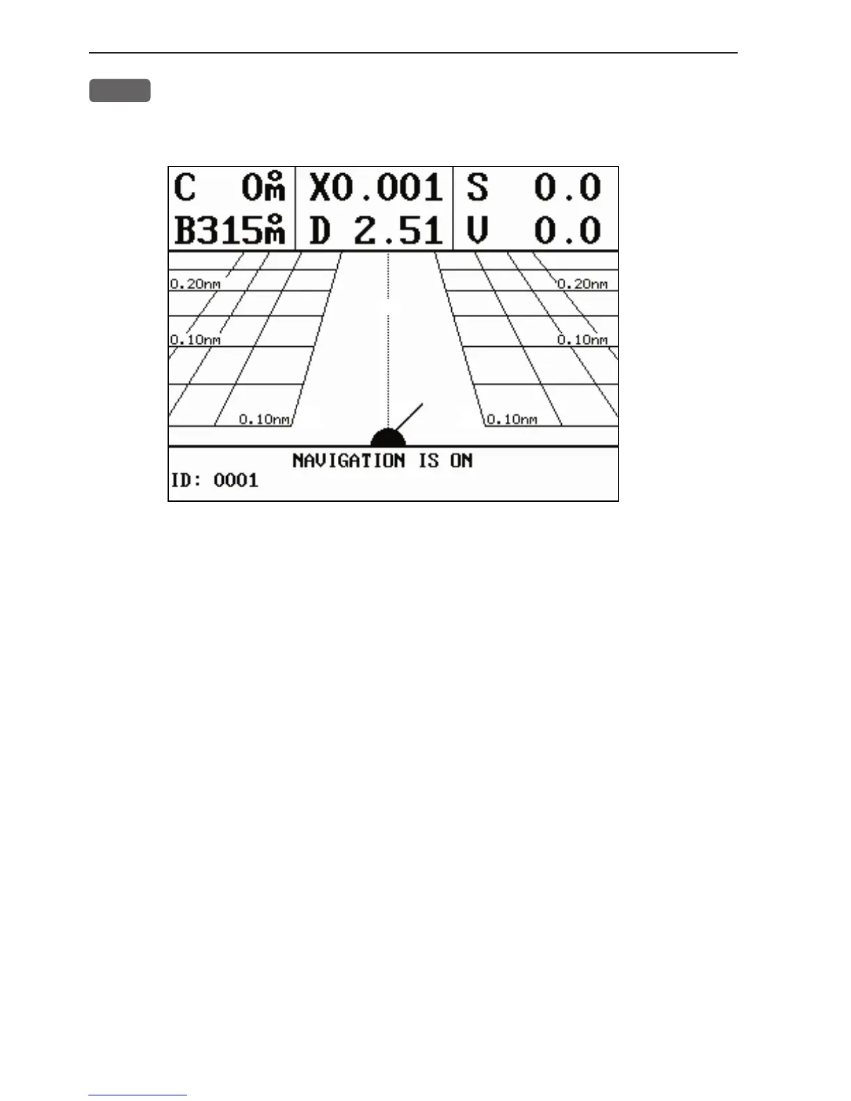
Highway display (with active navigation mode)
Nautical miles indication (0.10nm and 0.20nm) on horizontal lines
indicates how many nautical miles there are from ship’s position to
the horizontal line.
C: Course over ground
X: Cross-track-error
S: Speed over ground
B: Bearing to approaching WP
D: Distance to waypoint
V: Speed towards WP (velocity)
Bottom line indicates name/number of approaching waypoint or
routepoint.
Ship’s position and heading in relation to intended track.
Ideal course line between two waypoints starting from ship’s
position when a navigation mode is activated on connected navi-
gator.
XTE alarm lines - an alarm will sound if the ship touches the
lines (default distance: 0.10nm).